// About us
Newly founded. Built for precision.
GSense is a newly founded company for photogrammetry, airborne LiDAR, 3D geodata and GIS, based in Münster. Only the company is new – behind it stands a team of experienced specialists. We combine modern sensor technology and software architecture with a clear goal: dependable geodata that makes decisions easier.
From the aerial image through the classified point cloud to the web application – for utilities, transport infrastructure and the public sector.
// Industry Solutions
Built for the sectors that shape the ground.
Tailored geodata solutions for the market's most demanding sectors – from acquisition to web application.
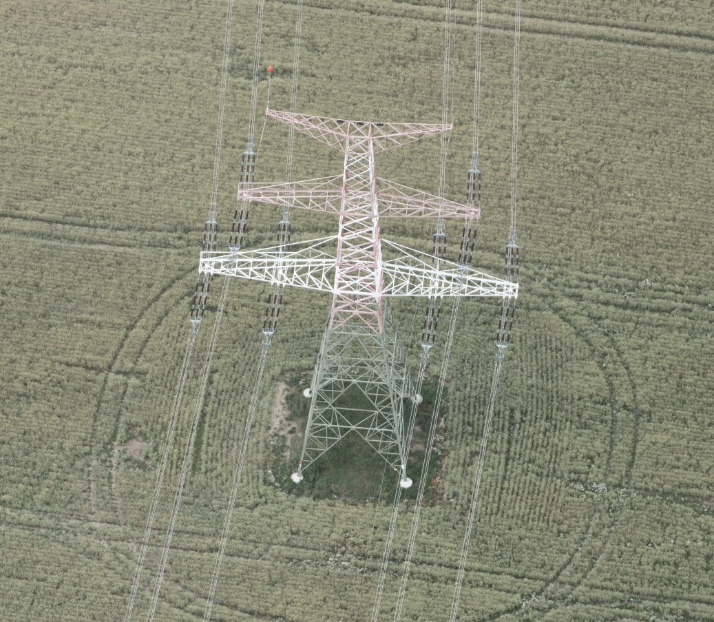
Power · Gas · Water
3D corridor mapping, route modeling, as-built documentation and continuous network monitoring.
Road & Rail
Mobile mapping of the road network with condition, inventory and traffic-sign analysis.
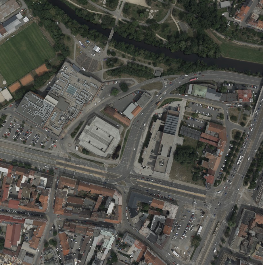
Municipal Digital Twin
Base and derived products for digital administration – from orthophoto to solar cadastre.
// Services
From the flight to the digital model.
Aerial Imagery
Orthophoto, true orthophoto, oriented oblique imagery and thermography.
Airborne LiDAR
Georeferenced and classified point clouds.
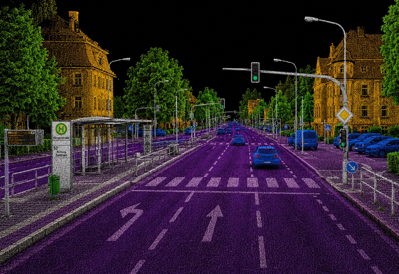
Mobile Mapping
360° panorama and 3D LiDAR from the vehicle.
3D Models
DTM / DSM, 3D mesh, city models and digital twins.
Analyses
Domain analyses aligned with the industry solutions.
Visualization
Oblique and MMS viewers plus web-GIS applications.
// Technology
Sensors and fleet.
// Geodata Request
Request a project
Planning a survey campaign or need high-end data processing? Talk to the team directly.