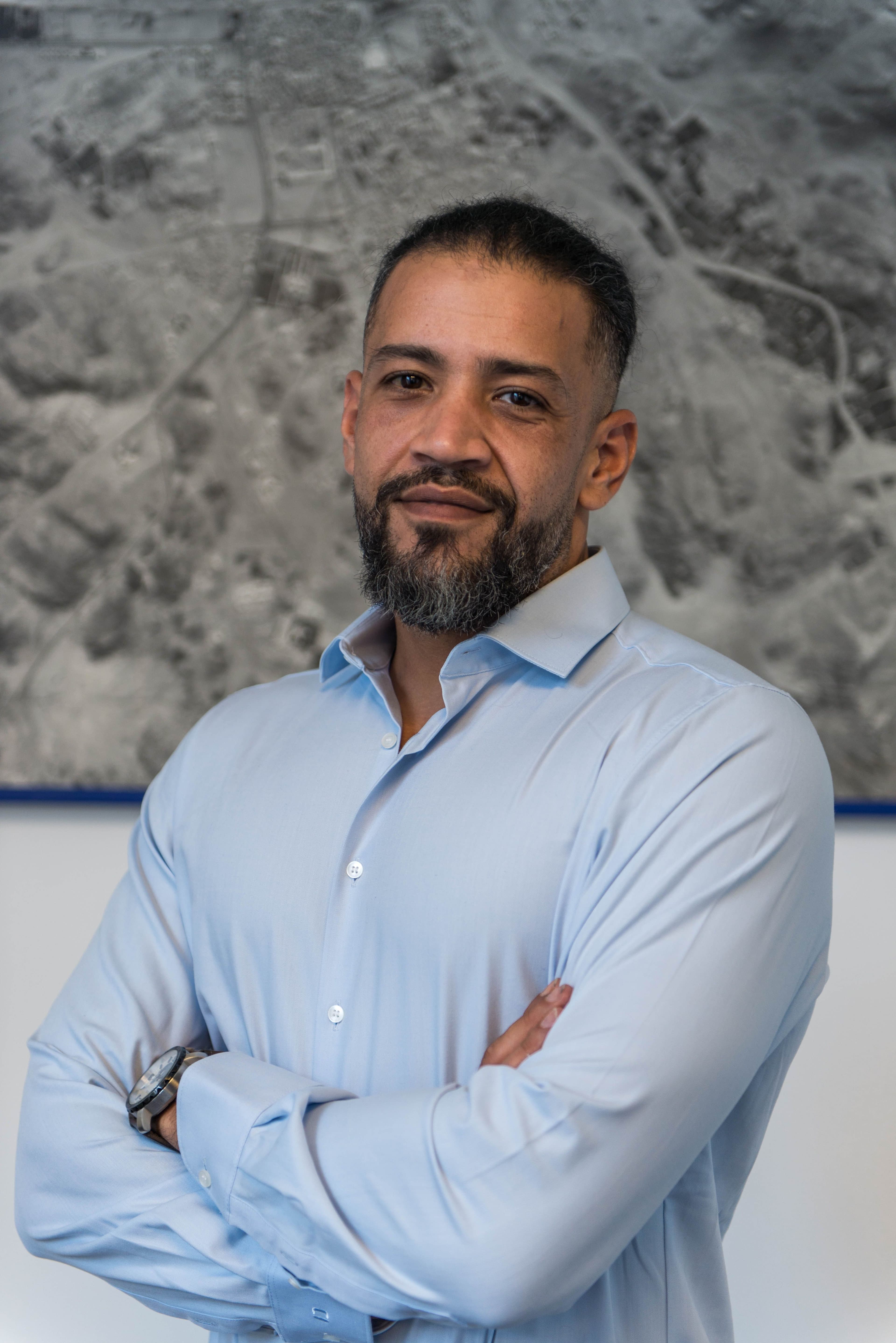

Cajetan Geiger
General Director / COO
Cajetan Geiger has many years of experience in surveying as well as in the execution of aerial photography and LiDAR survey missions. After studying Near Eastern Archaeology and Geosciences at Ludwig Maximilian University (LMU) Munich, the Technical University of Munich (TUM), and Ruhr University Bochum, he participated, among other roles as a research associate at LMU Munich, in numerous excavation, survey, and mapping projects across Africa, the Near and Middle East, Europe, South America, and the Caucasus. In addition to terrestrial surveying and the establishment of large-scale geodetic control networks, he gained extensive experience in drone-based photogrammetry and underground surveying. As an aerial survey navigator and head of the flight operations and surveying department of a major German geoinformation company, he further expanded his expertise in the deployment of a wide range of aerial imaging and LiDAR sensors on fixed-wing aircraft and helicopters. At GSense GmbH, he serves as General Director and Chief Operating Officer (COO), overseeing the company's operational management and day-to-day business activities.