// Expertise
Aerial Imagery
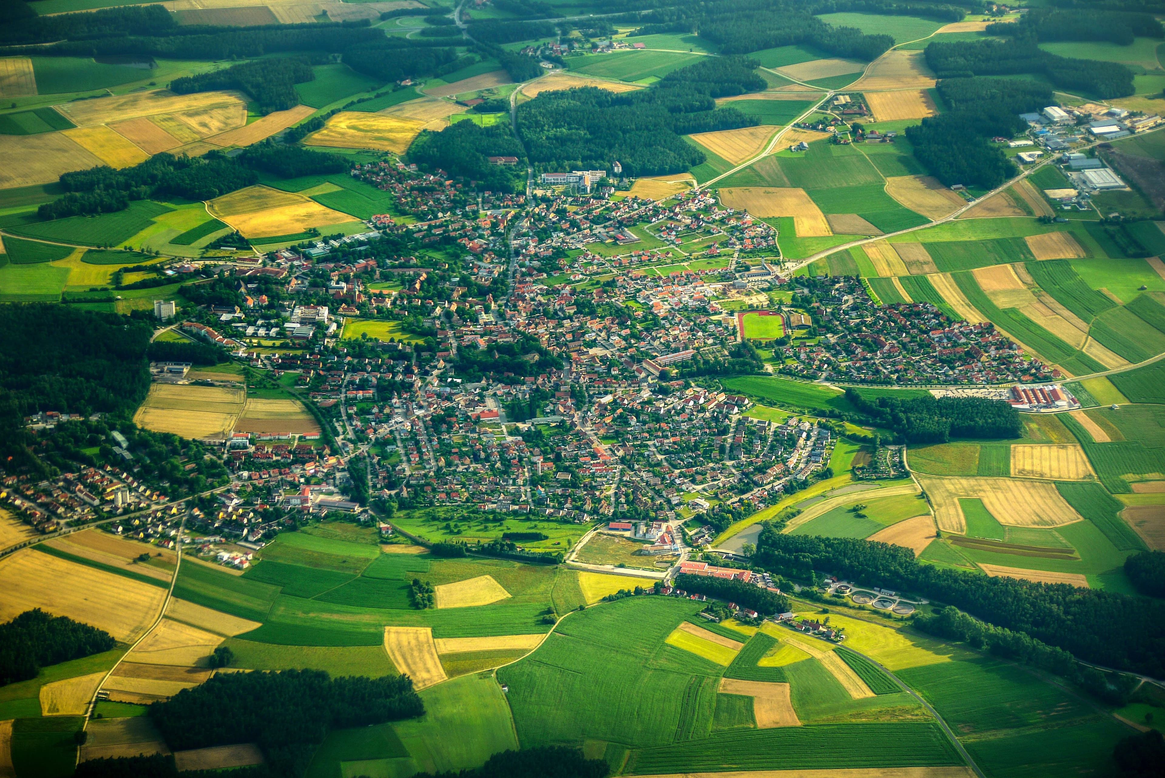
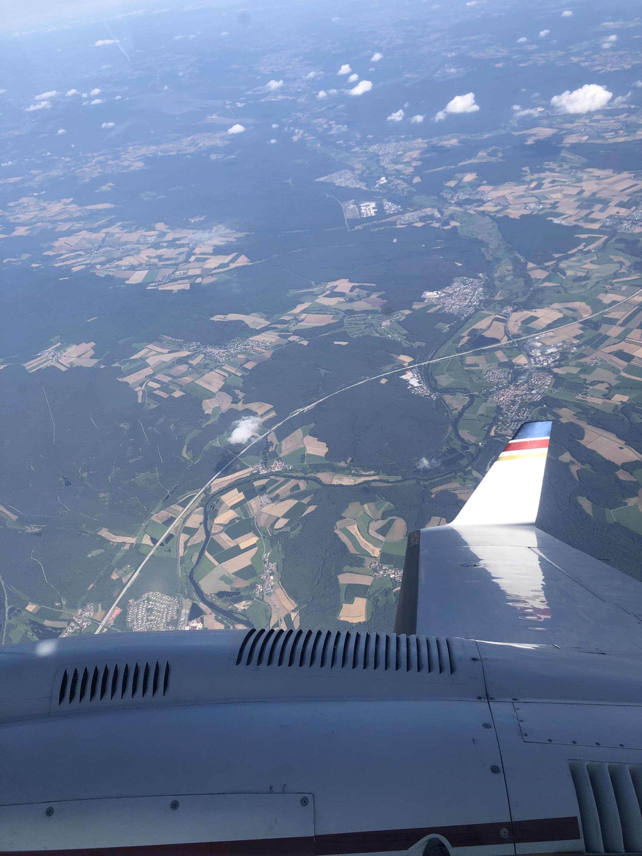
Orthophoto, true orthophoto, oriented oblique imagery and thermography from calibrated large-format cameras.
// Overview
Aerial Imagery
// Data products
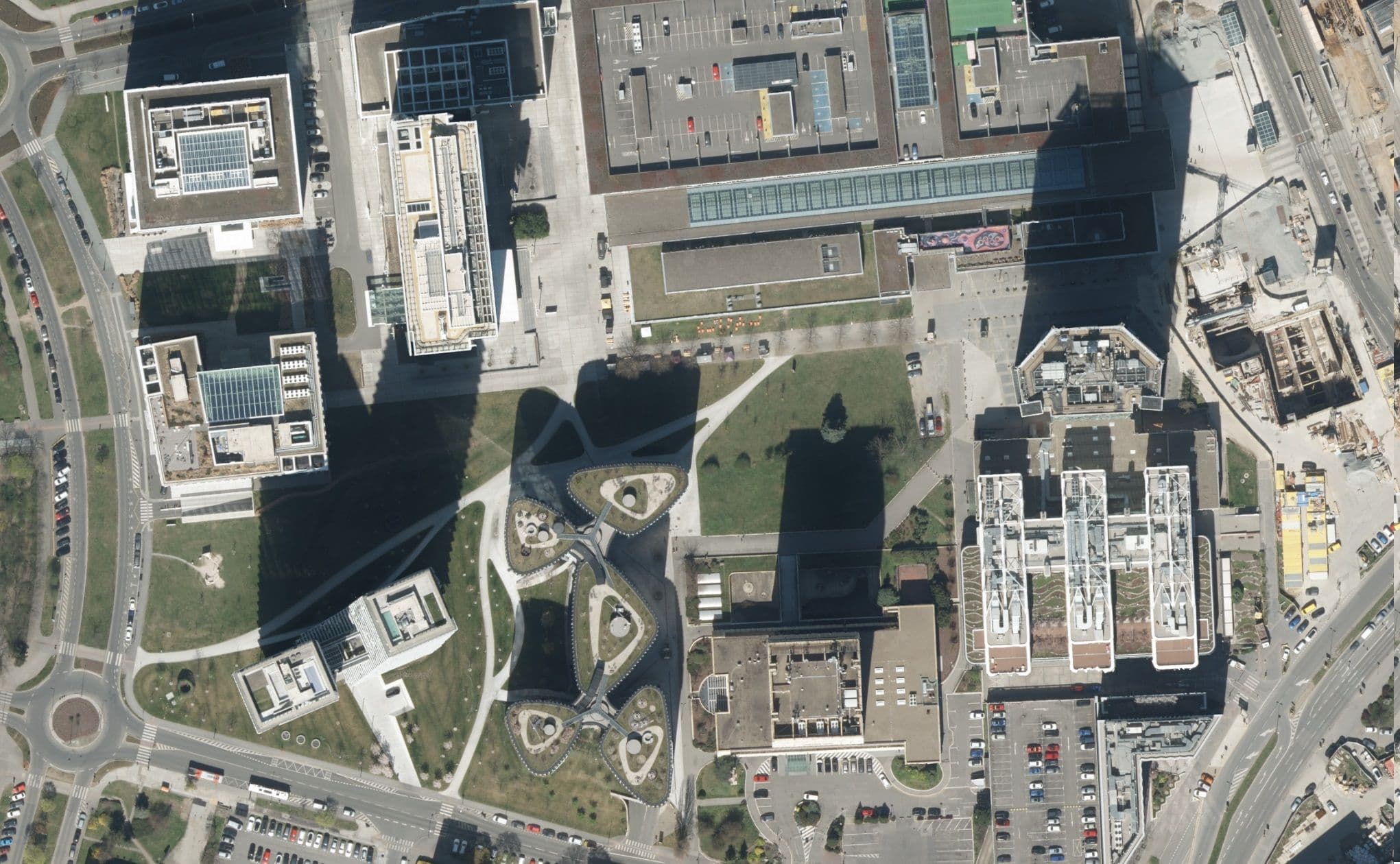
Orthophoto
Rectified, true-to-scale aerial imagery as a comprehensive, positionally accurate map base.
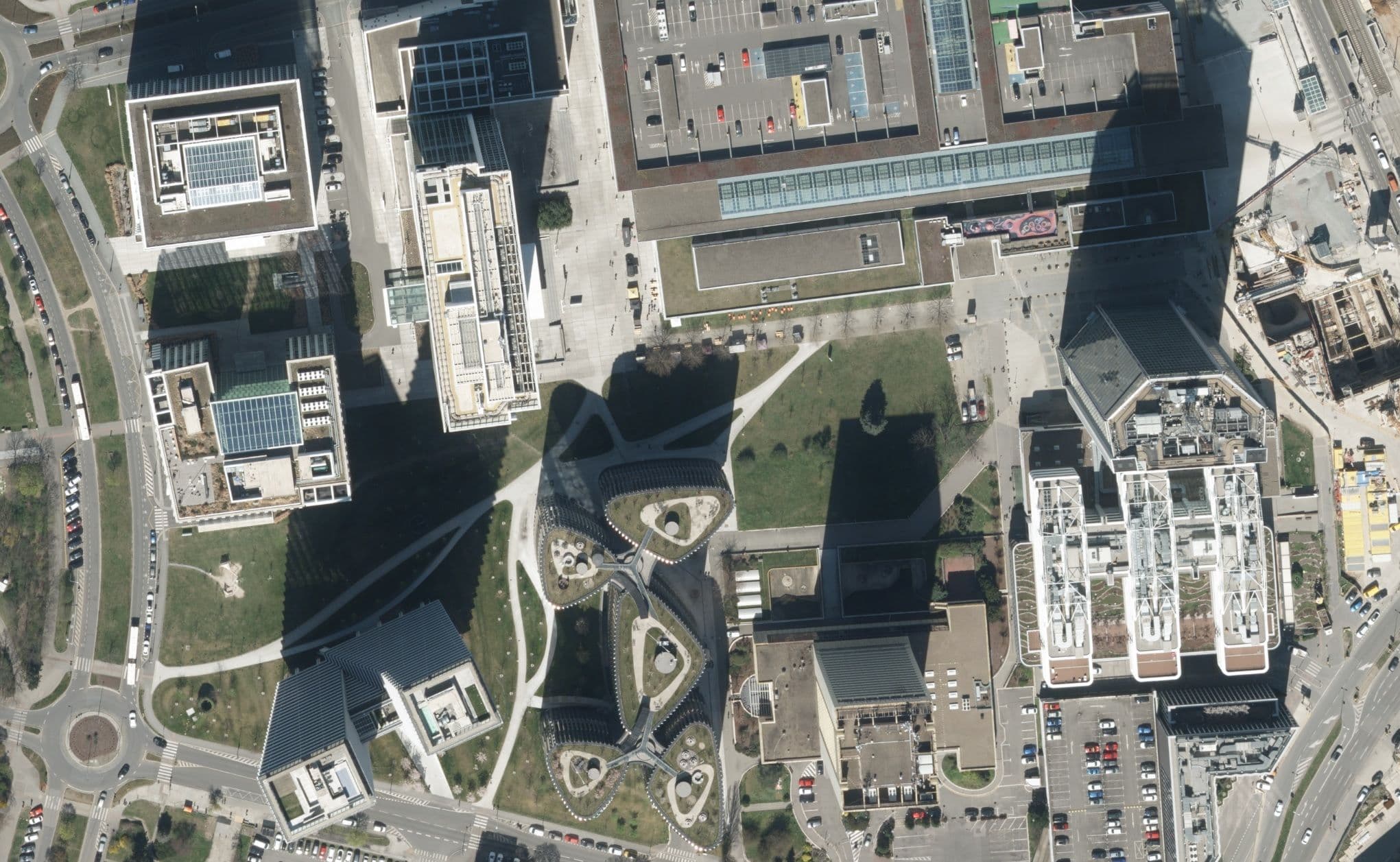
True orthophoto
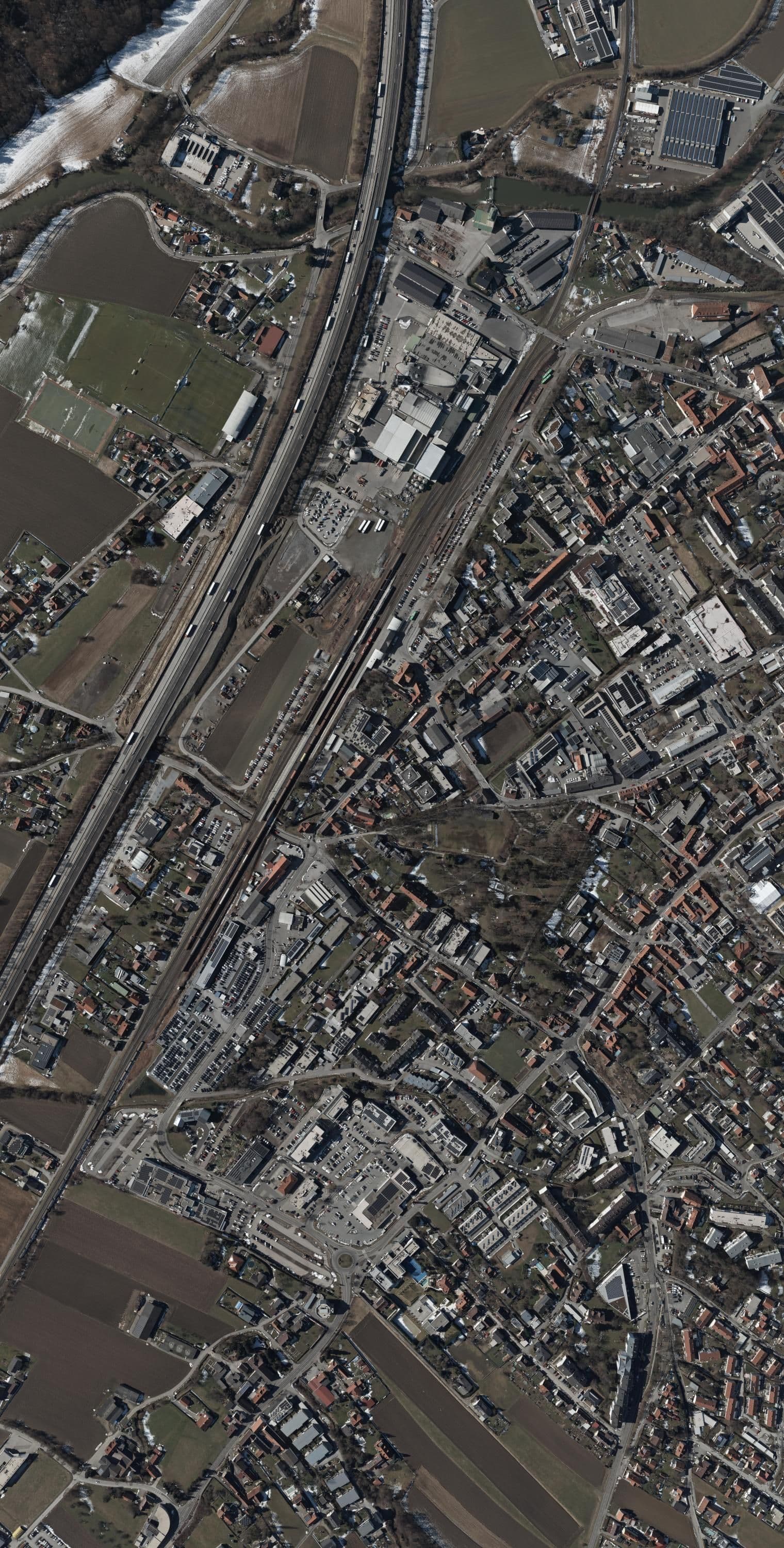
A geometrically exact orthophoto without building lean – positionally correct even in densely built-up areas.
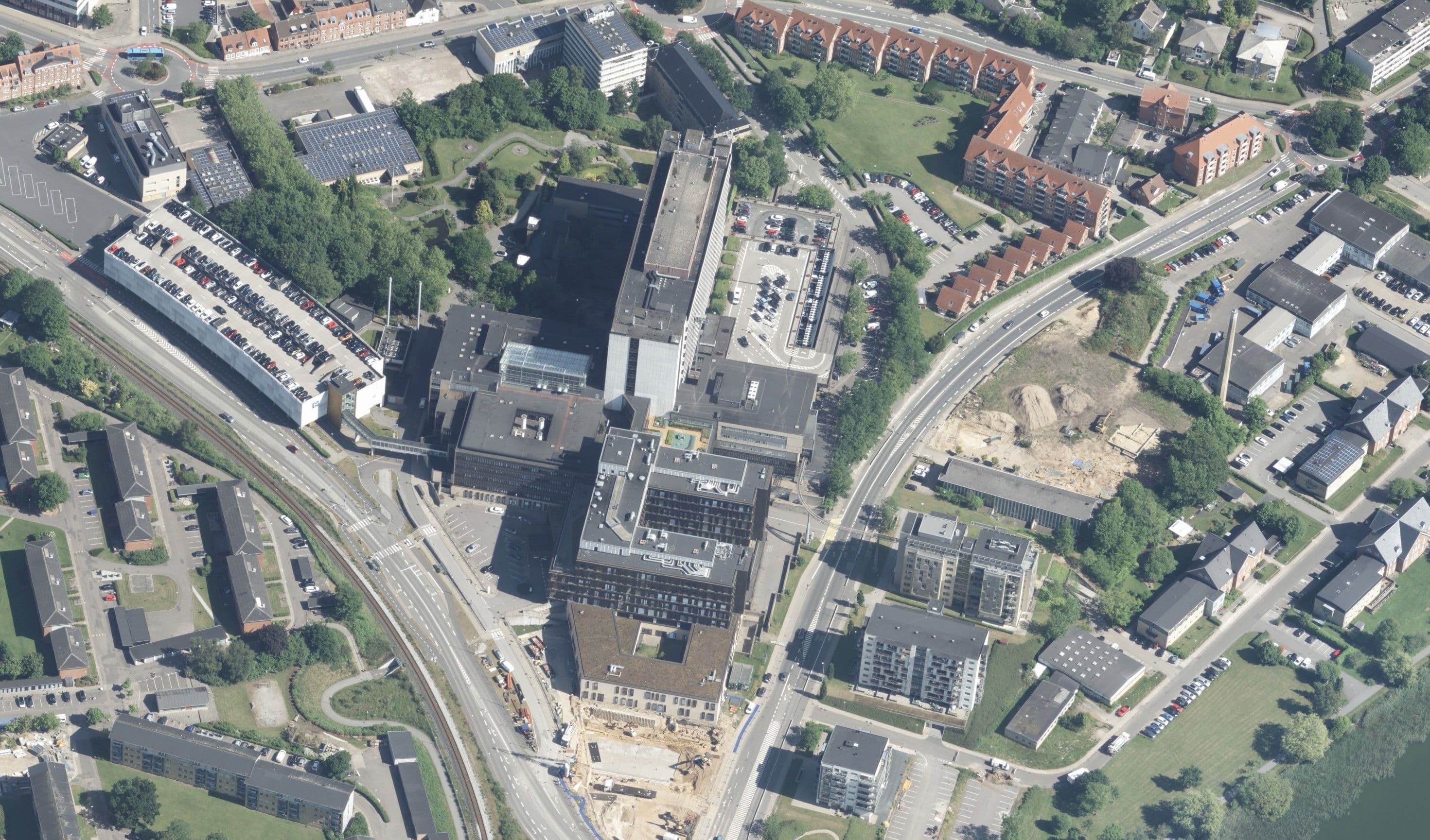
Oriented oblique imagery
Oriented oblique images captured from four cardinal directions for facades, roofs and detailed views.
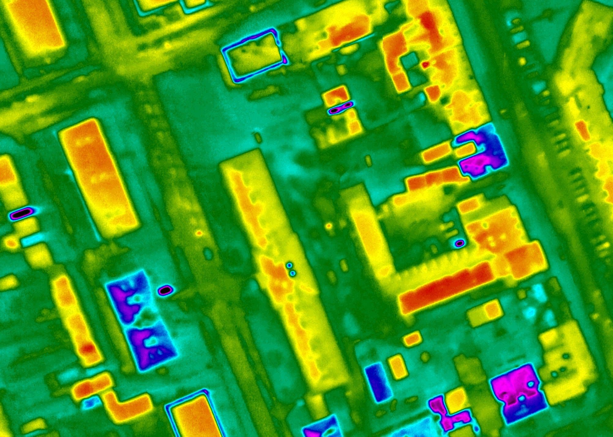
Thermography
Thermographic aerial survey for area-wide capture of surface temperatures and heat loss.
// Orthophoto
Orthophoto
// True orthophoto
True orthophoto
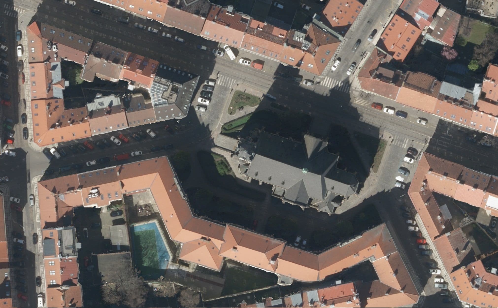
// Orthophoto / true orthophoto
// Oriented oblique imagery
Oriented oblique imagery
// Thermography
Thermography
// Process
From the survey flight to the orthophoto
- 01
Project planning
Flight planning and sensor selection based on the required GSD, overlap and accuracy.
- 02
Image acquisition
Capturing aerial imagery along the planned flight lines while simultaneously recording high-accuracy GNSS and INS data.
- 03
Data processing
Aerial triangulation, computation of image orientations and production of orthophotos using ground control points.
- 04
Quality control & delivery
Verification of the accuracies achieved and delivery of the data in your preferred format.
// Recommended for
All solutions