// Expertise
Mobile Mapping
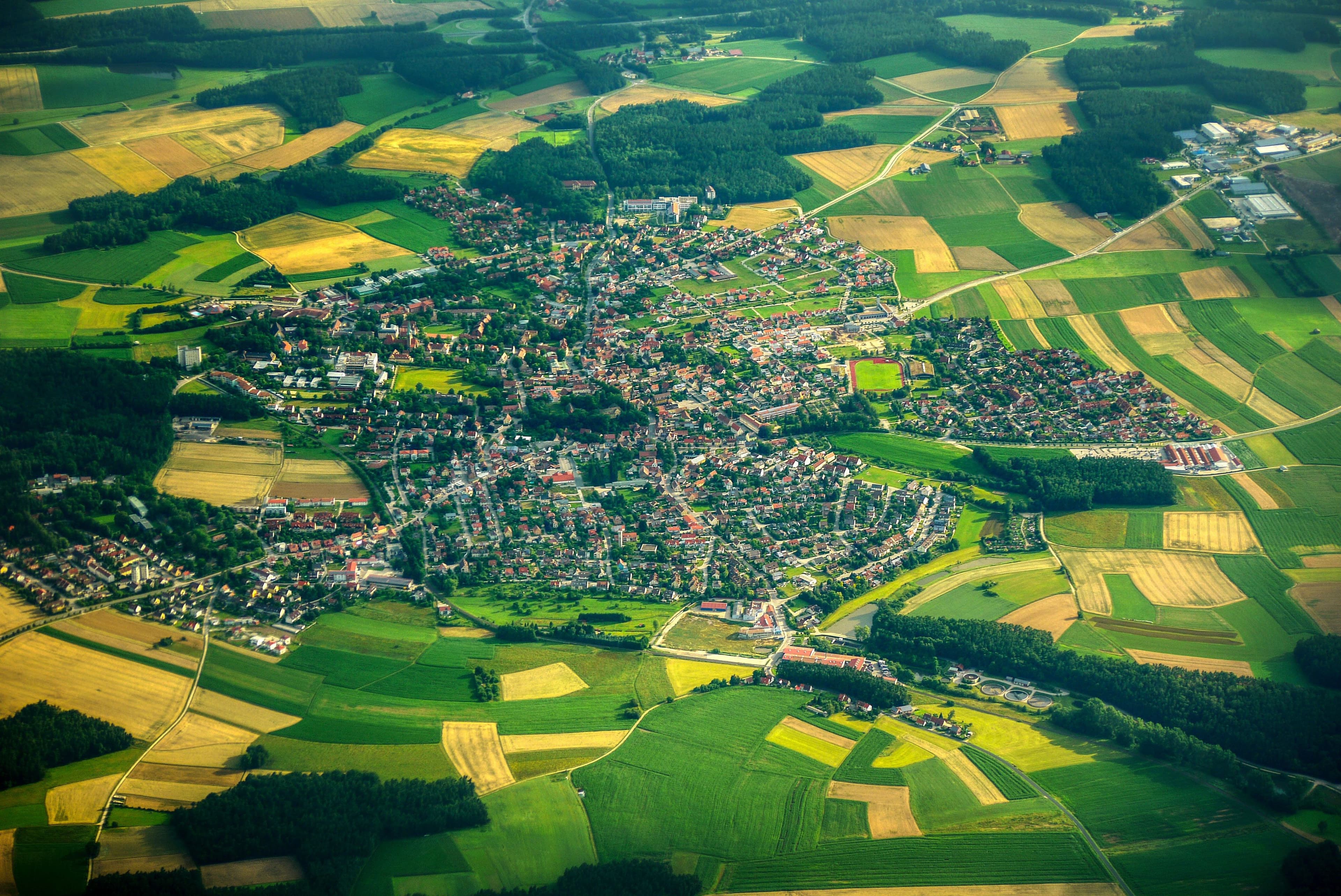
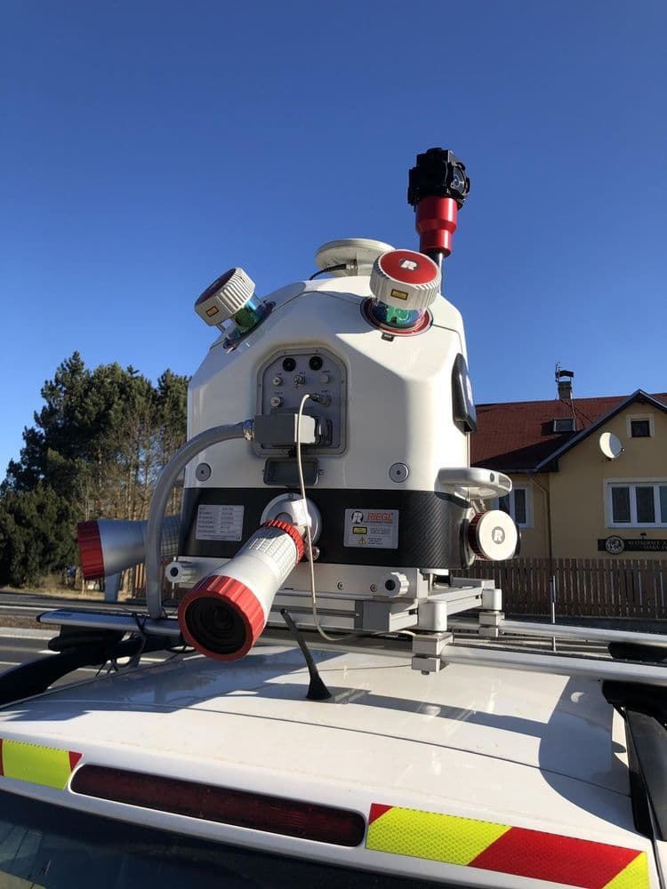
Road-based capture with 360° panorama and 3D LiDAR for assets and inventory.
// Overview
Mobile Mapping
// 360° panorama
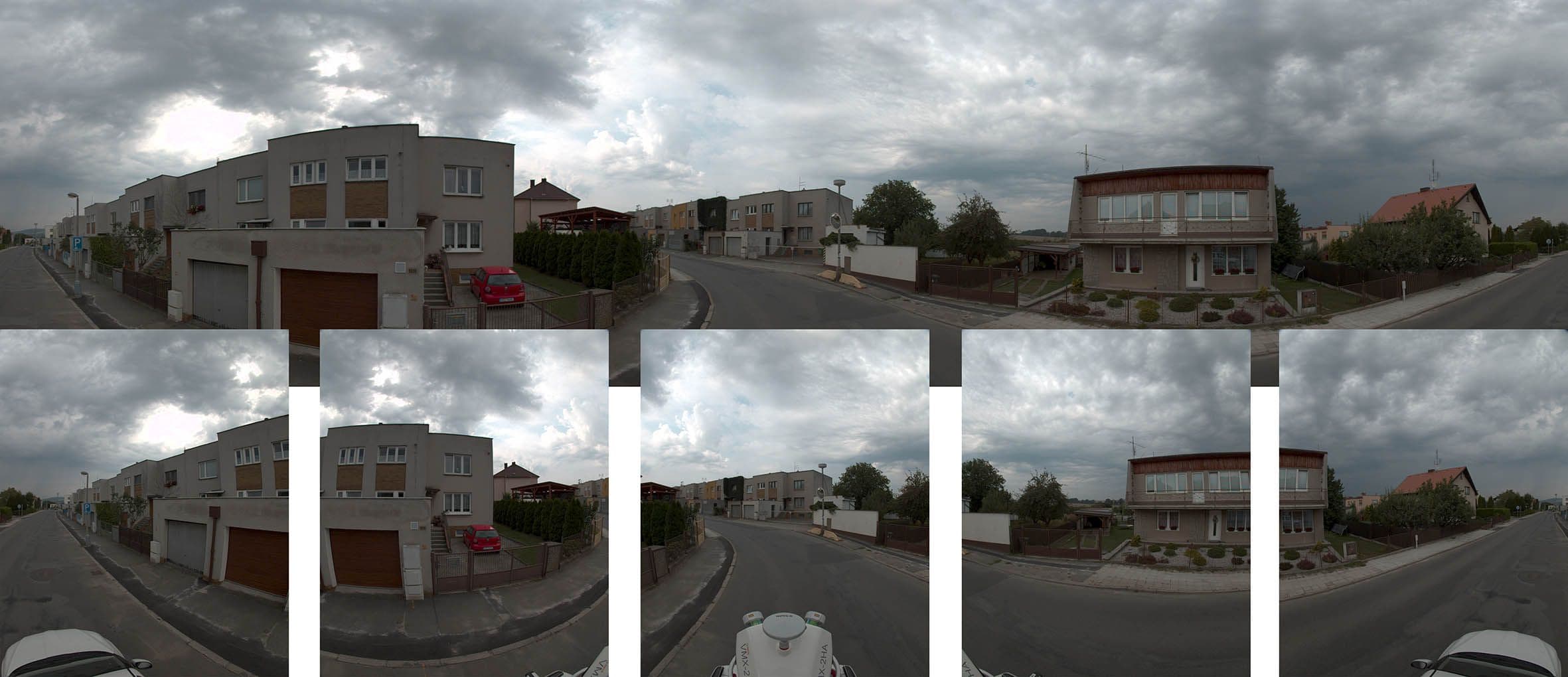
360° panoramic imagery
// 3D LiDAR
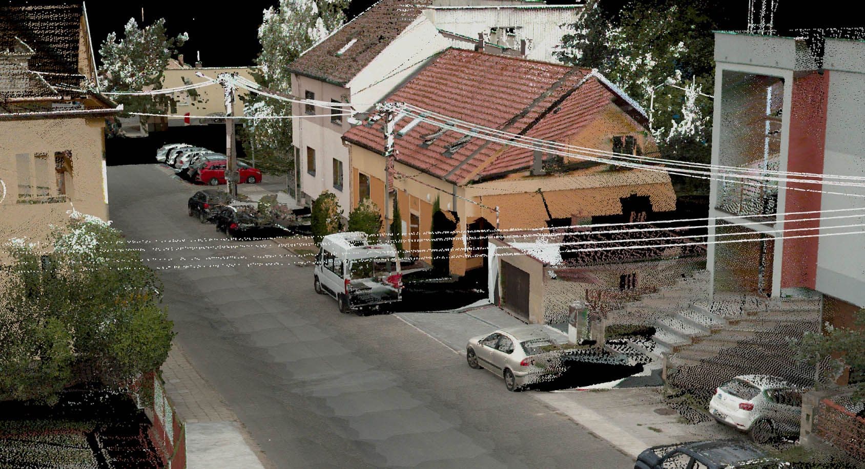
3D LiDAR
// Process
From the mobile mapping survey to the virtual street space
- 01
Project planning & requirements
Planning the driving routes and selecting the sensors based on the project objectives.
- 02
Field data capture
Simultaneous capture of point clouds, panoramic images and position and motion data with the mobile mapping vehicle.
- 03
Data processing & georeferencing
Vehicle trajectory computation, fusion of all sensor data, georeferencing and quality control of the positional accuracy.
- 04
Data preparation & feature extraction
Extraction of relevant features and production of 3D models and digital twins.
- 05
Evaluation & delivery
Delivery of the data in your preferred format, integration into existing GIS systems, or provision in the MMS Viewer.
// Recommended for
All solutions