// Expertise
3D Models
DTM, DSM, 3D mesh, 3D city models and digital twins from imagery and LiDAR data.
// Overview
3D Models
// Data products
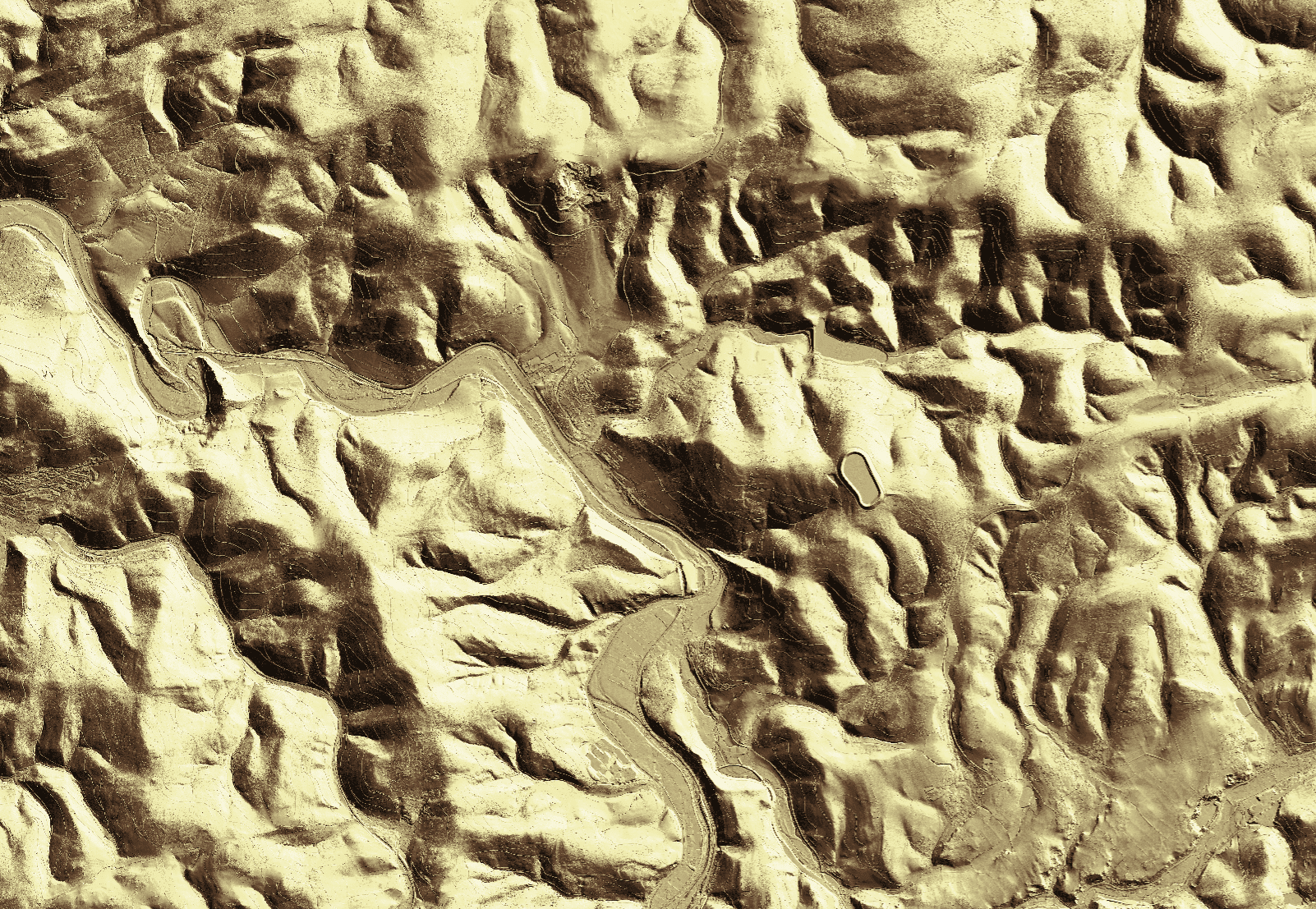
Digital terrain model (DTM)
A model of the bare earth surface without vegetation or buildings – the basis for elevations, gradients and hydrology.
Digital surface model (DSM)
Elevation model of the visible surface including vegetation and buildings.
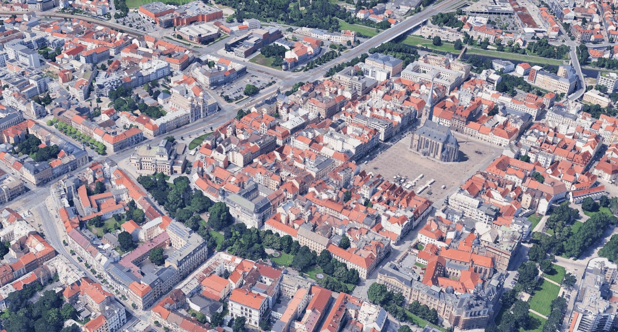
3D mesh
A continuous, textured surface mesh for true-to-life visualization and measurement.
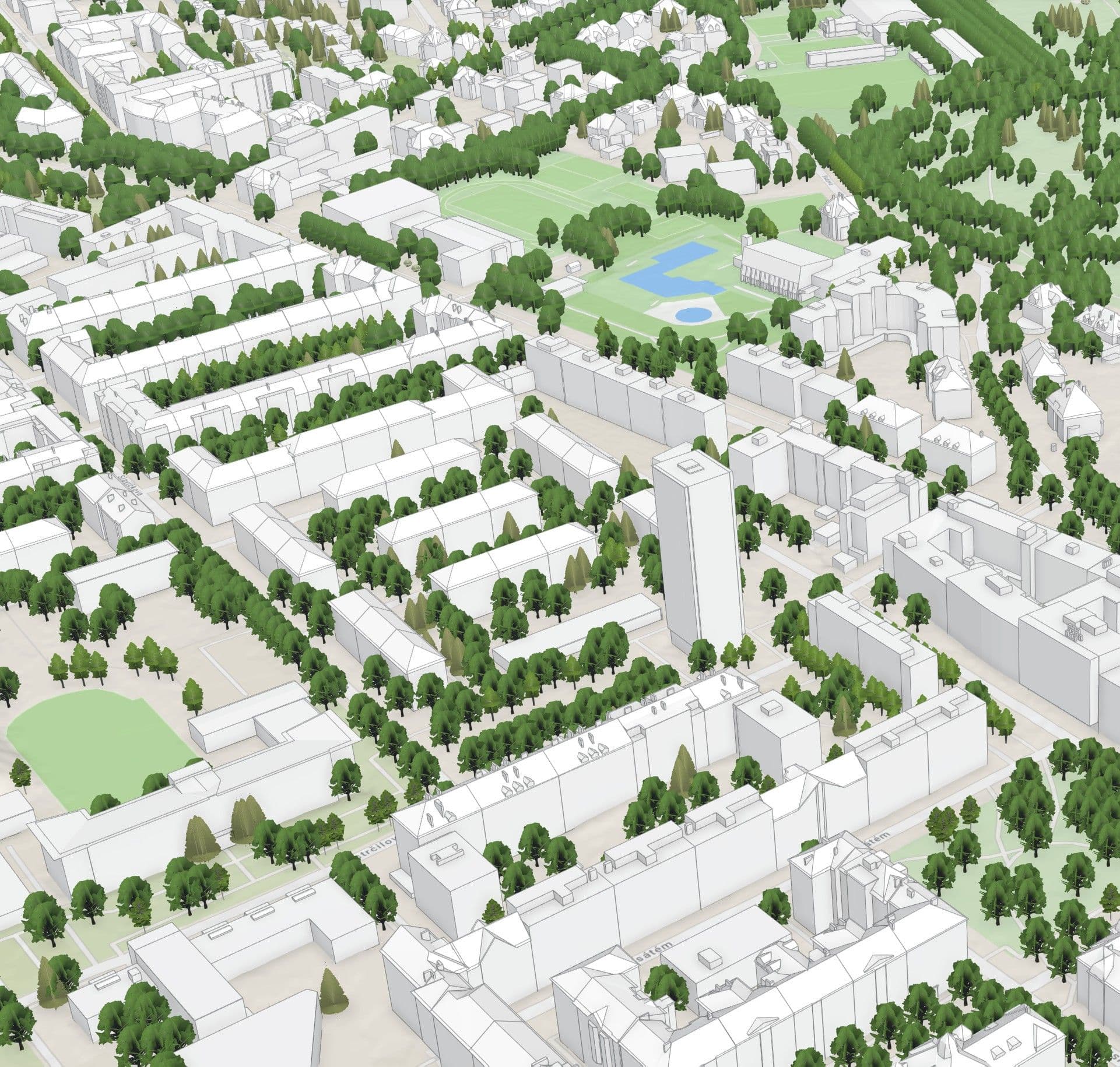
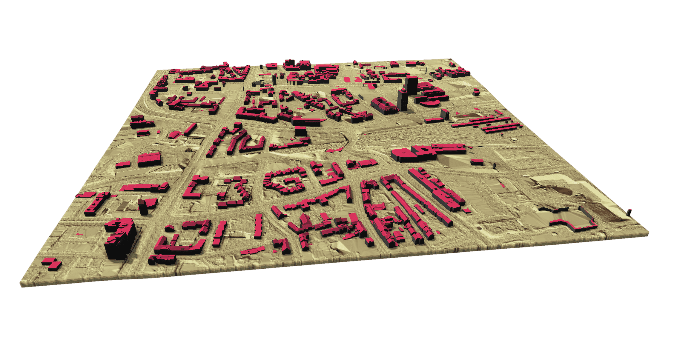
3D city model
Building model at LoD1–LoD2 for urban planning and for solar and noise analyses.
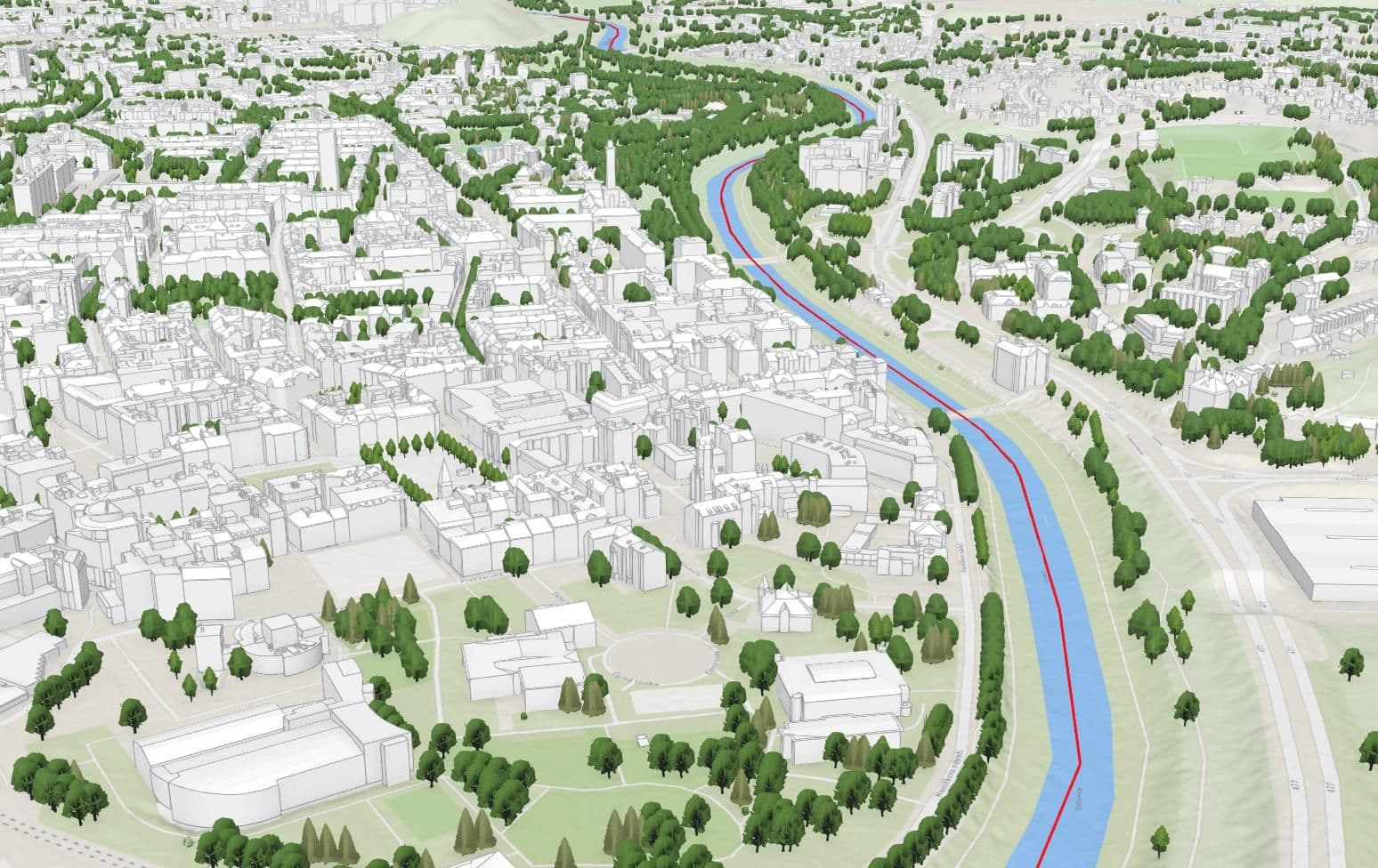
Digital twin
A continuously updated, integrated 3D representation of your area as a basis for planning and operations.
// Digital terrain model
Digital terrain model (DTM)
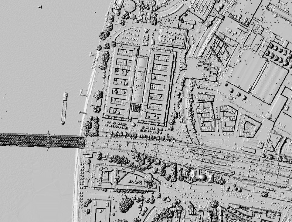
// Digital surface model
Digital surface model (DSM)
// 3D mesh
3D mesh
// 3D city model
3D city model
// Digital twin
Digital twin
// Recommended for
All solutions