
Services
// Services
From aerial imageryto analysis
//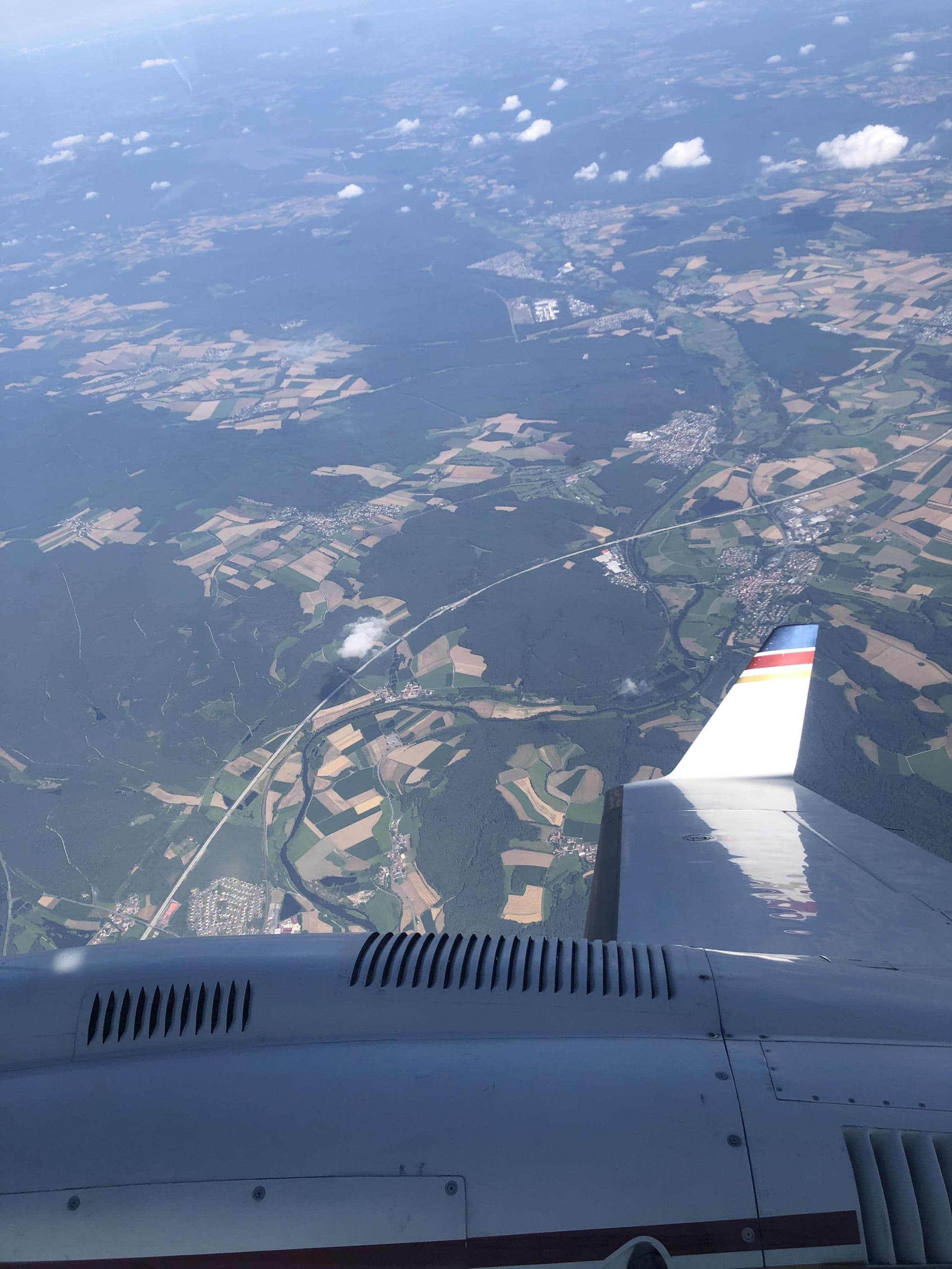
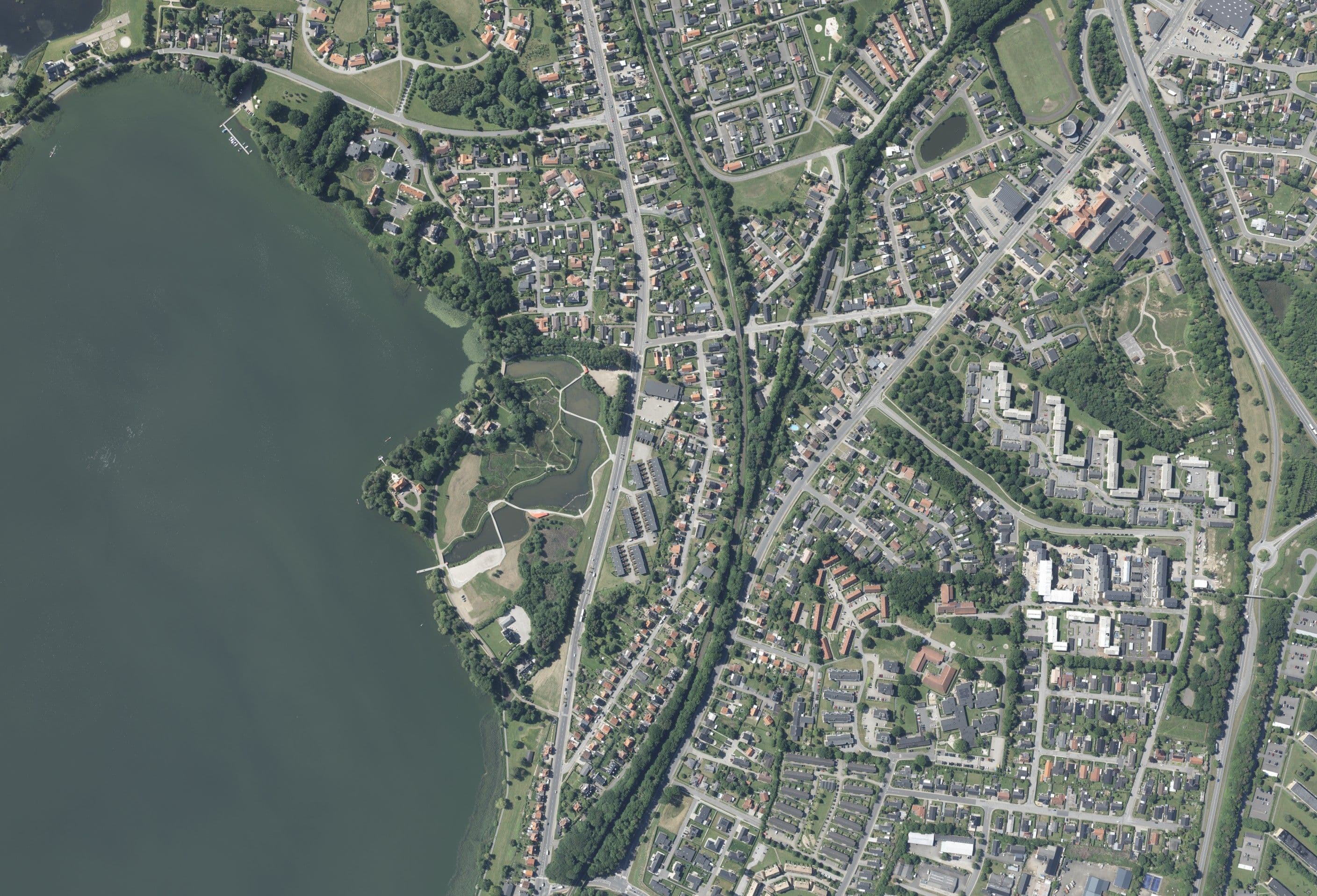
Aerial Imagery
Orthophoto, true orthophoto, oriented oblique imagery and thermography from calibrated large-format cameras.
//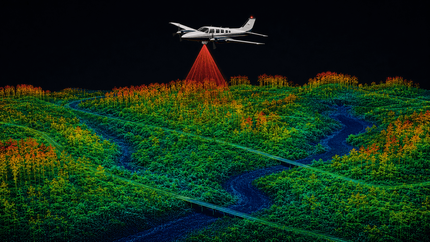
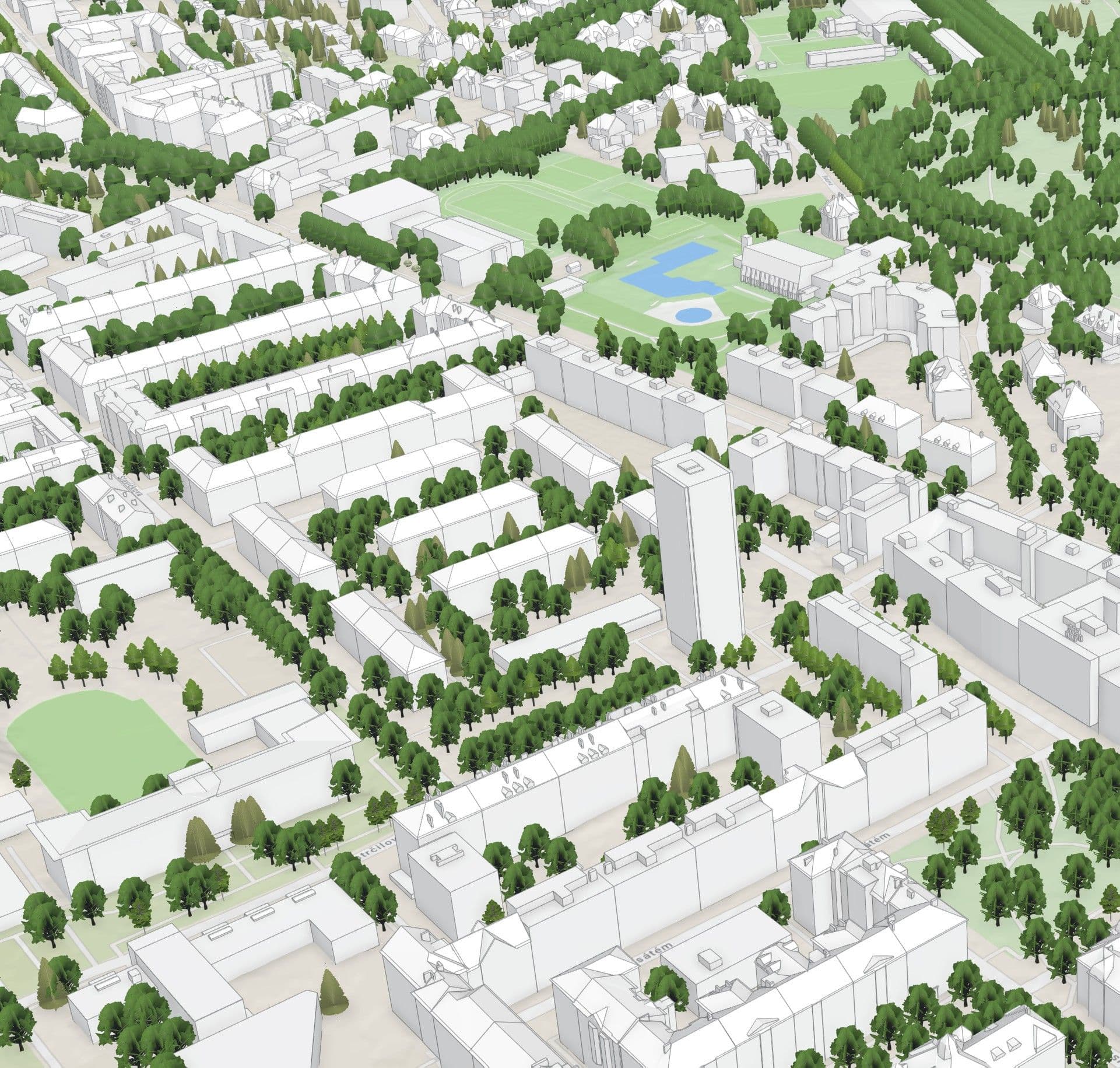
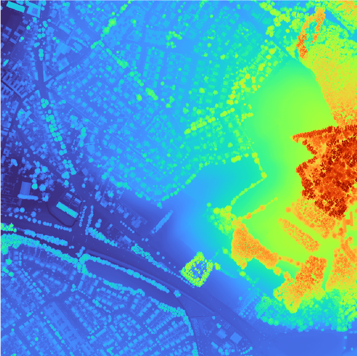
Airborne LiDAR
Aircraft-mounted laser scanning for dense, georeferenced and classified 3D point clouds.
//
Analyses
Precise geospatial analyses for better decisions in energy, infrastructure and municipalities.
//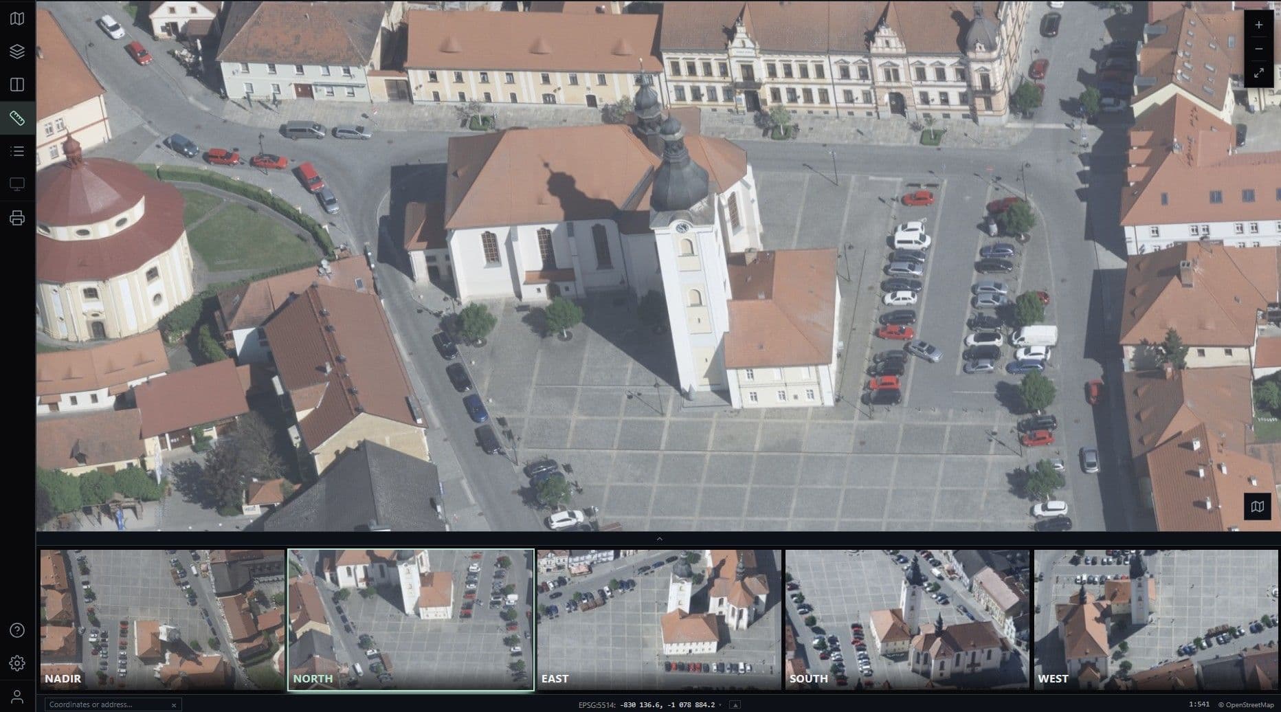
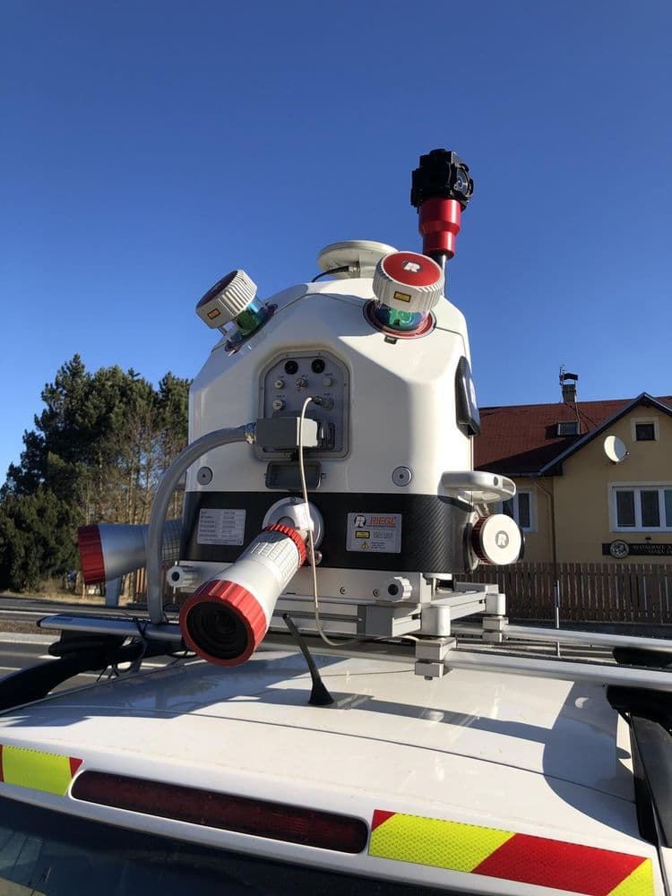
Viewer
Interactive delivery of geospatial data via the Oblique Viewer and Mobile Mapping Viewer in the browser.