
// Expertise
Cities & Municipalities
From the aerial survey to the digital twin
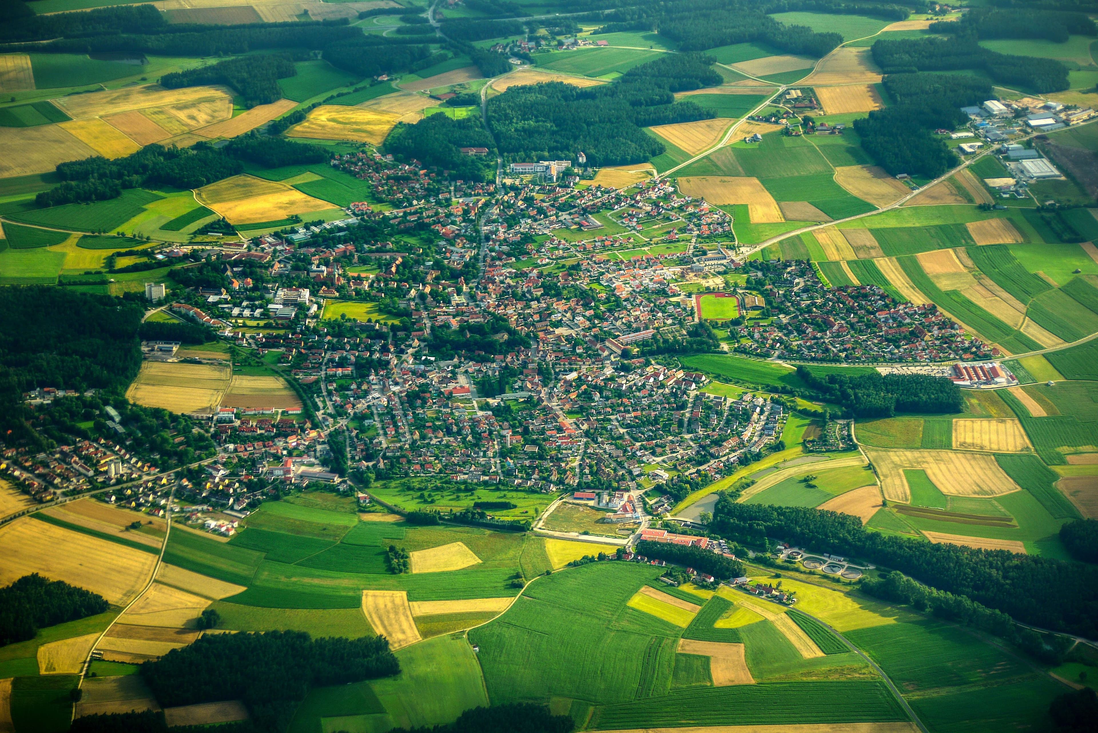
// Precise data capture for modern urban planning
Precise data capture for modern urban planning
// City modeling
City modeling
3D city model
3D city models create the foundation for the digital city. At various levels of detail (LoD) they support urban planning, visualization and analysis, and deliver fit-for-purpose information for a wide range of applications.
Digital twin
Digital twins combine geospatial data, aerial imagery, 3D models and domain data into a single digital representation of cities and infrastructure. They enable precise analysis, visualization and well-founded decisions, and improve collaboration between everyone involved in a project.
3D mesh
Nadir and oblique aerial imagery is turned into detailed, textured 3D meshes of the real environment. They enable vivid visualizations and support planning, analysis and decision-making across numerous fields of application.
Mobile Mapping
Mobile mapping captures roads, buildings and infrastructure efficiently in flowing traffic. High-resolution 360° panoramic images and precise 3D LiDAR data enable virtual site visits, as-built documentation, asset inventories and planning. The data can be used in BIM, GIS and CAD.
True orthophoto
True orthophotos deliver distortion-free, positionally accurate aerial imagery without building lean or occluded areas. They enable precise measurements and serve as an ideal basis for urban planning, infrastructure management, cadastral work and GIS applications.
Georeferenced oblique imagery
Georeferenced oblique imagery offers detailed views of buildings and infrastructure from multiple perspectives. It enables precise as-built surveys, analyses and 3D models, and forms the basis for digital twins, urban planning and infrastructure management.
Thermography
High-resolution thermal aerial surveys make heat loss visible and deliver valuable data for heat planning, energy efficiency, refurbishment measures and the analysis of energy and district heating networks.
Digital terrain model (DTM)
High-resolution digital terrain models enable precise analysis of landforms, elevations and slopes. They support planning, construction and infrastructure projects and integrate easily into existing GIS, CAD and BIM systems.
Digital surface model (DSM)
Digital surface models provide a true-to-life representation of the visible environment including buildings and vegetation. They support construction and infrastructure planning as well as visibility, solar and site analyses with precise geospatial data.
Classified point cloud
Point cloud classification assigns measured points to surface and object classes, automatically or manually. The result is structured datasets that serve as the basis for terrain models, analyses and further geospatial products in surveying and planning.
// City modeling
City modeling
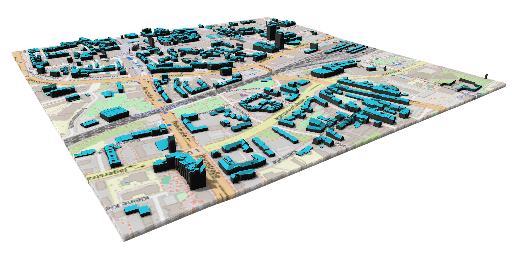
3D city model
3D city models create the foundation for the digital city. At various levels of detail (LoD) they support urban planning, visualization and analysis, and deliver fit-for-purpose information for a wide range of applications.
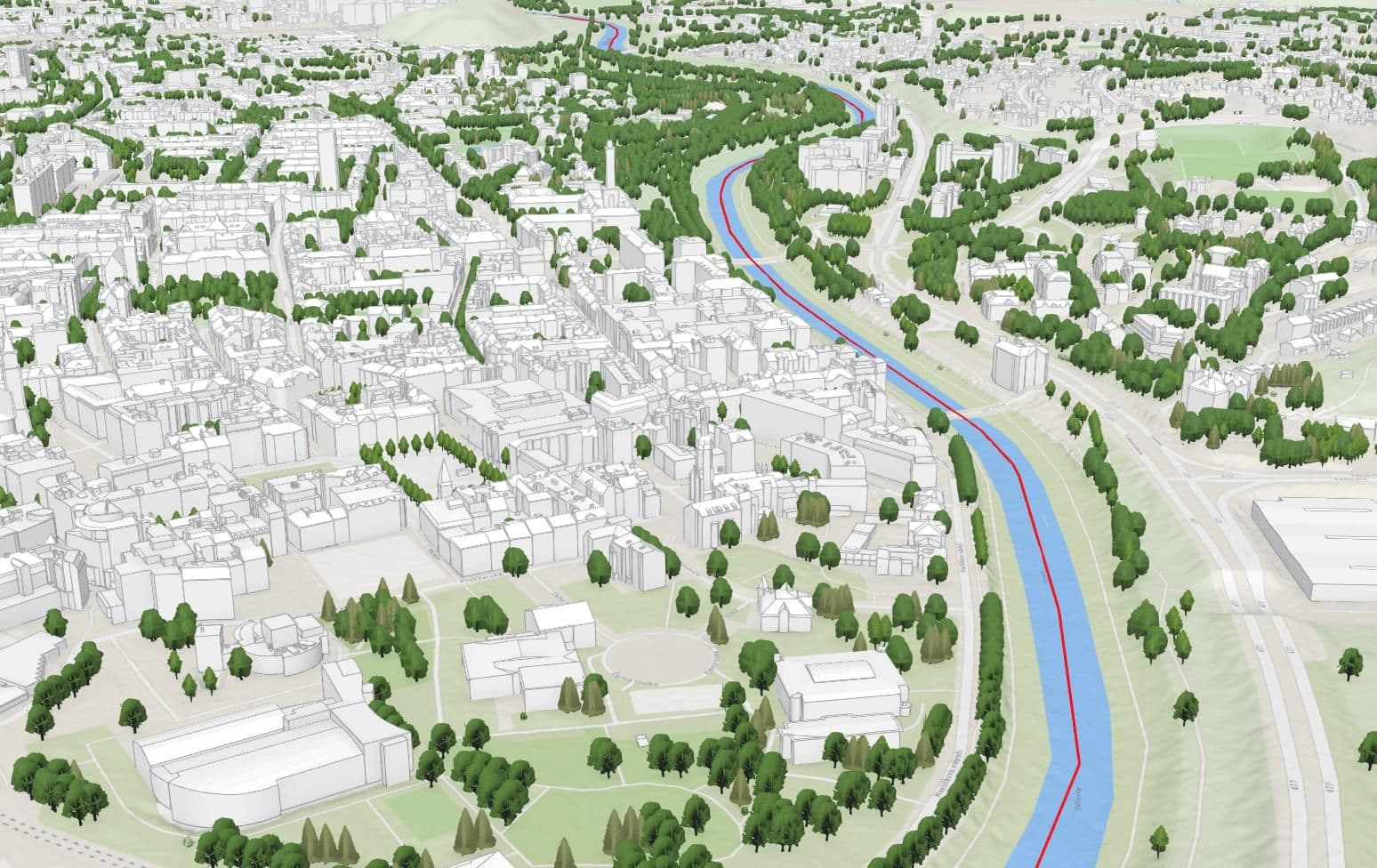
Digital twin
Digital twins combine geospatial data, aerial imagery, 3D models and domain data into a single digital representation of cities and infrastructure. They enable precise analysis, visualization and well-founded decisions, and improve collaboration between everyone involved in a project.
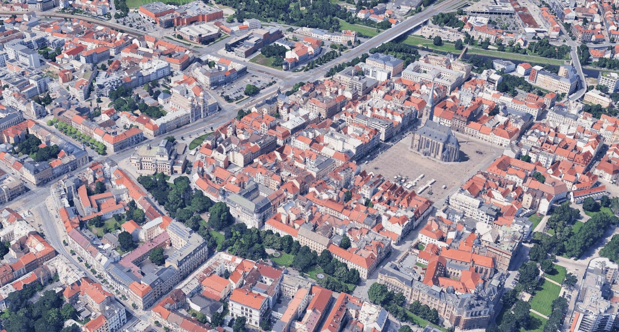
3D mesh
Nadir and oblique aerial imagery is turned into detailed, textured 3D meshes of the real environment. They enable vivid visualizations and support planning, analysis and decision-making across numerous fields of application.
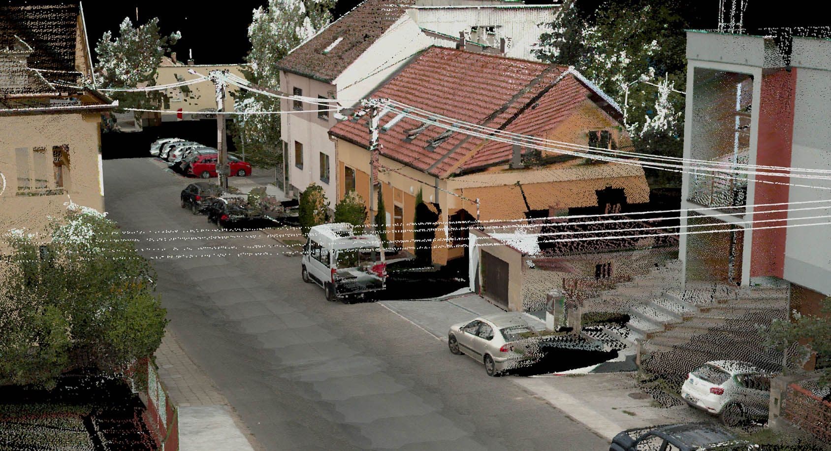
Mobile Mapping
Mobile mapping captures roads, buildings and infrastructure efficiently in flowing traffic. High-resolution 360° panoramic images and precise 3D LiDAR data enable virtual site visits, as-built documentation, asset inventories and planning. The data can be used in BIM, GIS and CAD.
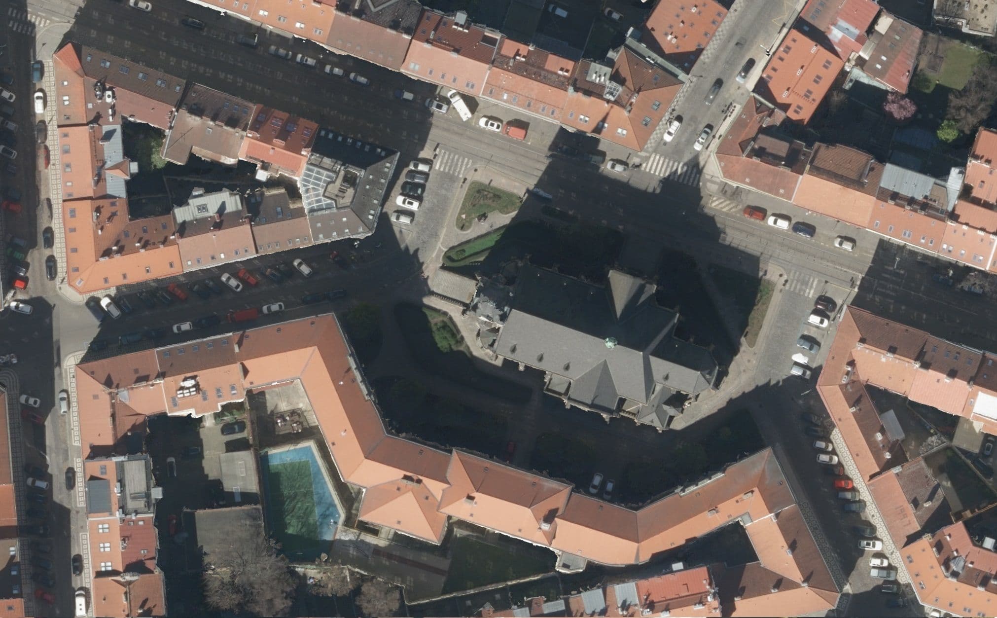
True orthophoto
True orthophotos deliver distortion-free, positionally accurate aerial imagery without building lean or occluded areas. They enable precise measurements and serve as an ideal basis for urban planning, infrastructure management, cadastral work and GIS applications.
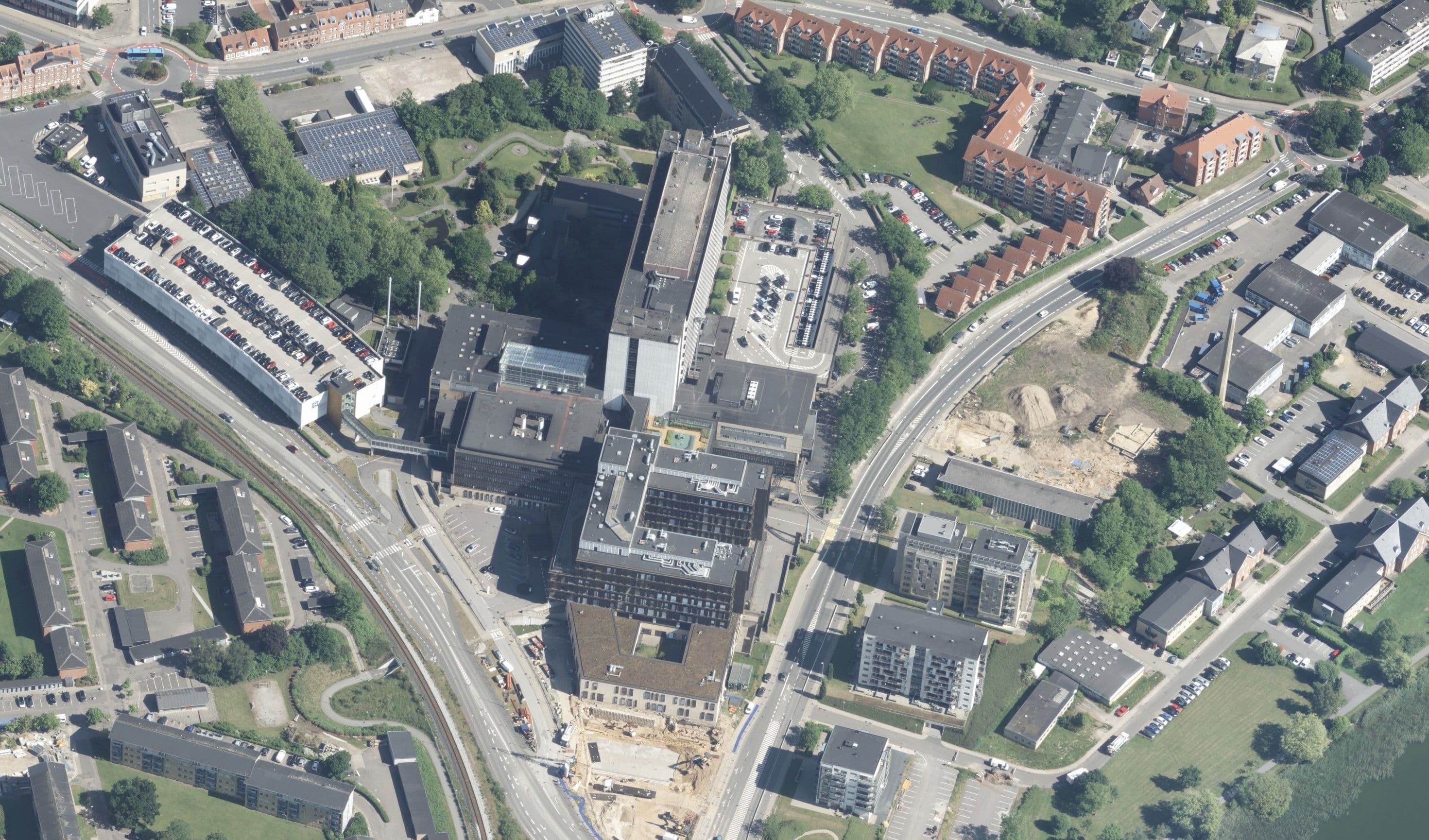
Georeferenced oblique imagery
Georeferenced oblique imagery offers detailed views of buildings and infrastructure from multiple perspectives. It enables precise as-built surveys, analyses and 3D models, and forms the basis for digital twins, urban planning and infrastructure management.
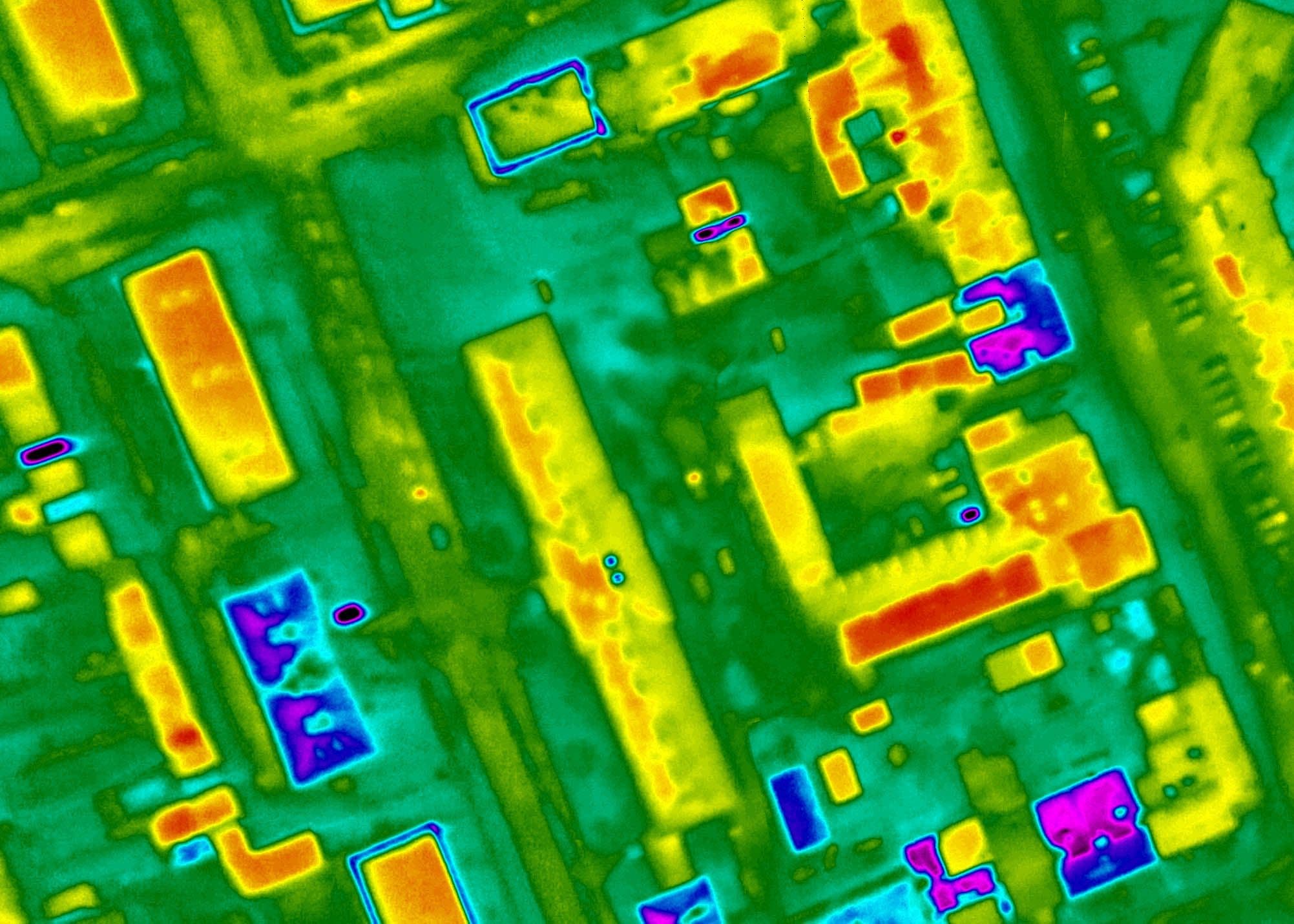
Thermography
High-resolution thermal aerial surveys make heat loss visible and deliver valuable data for heat planning, energy efficiency, refurbishment measures and the analysis of energy and district heating networks.
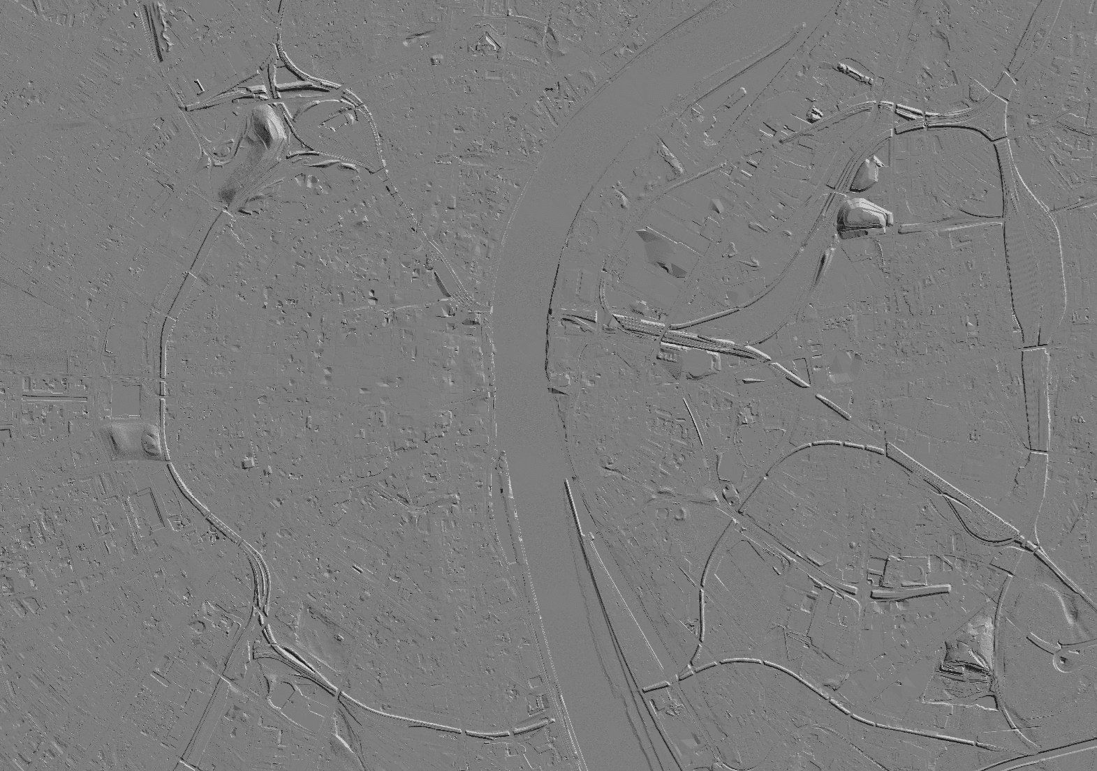
Digital terrain model (DTM)
High-resolution digital terrain models enable precise analysis of landforms, elevations and slopes. They support planning, construction and infrastructure projects and integrate easily into existing GIS, CAD and BIM systems.
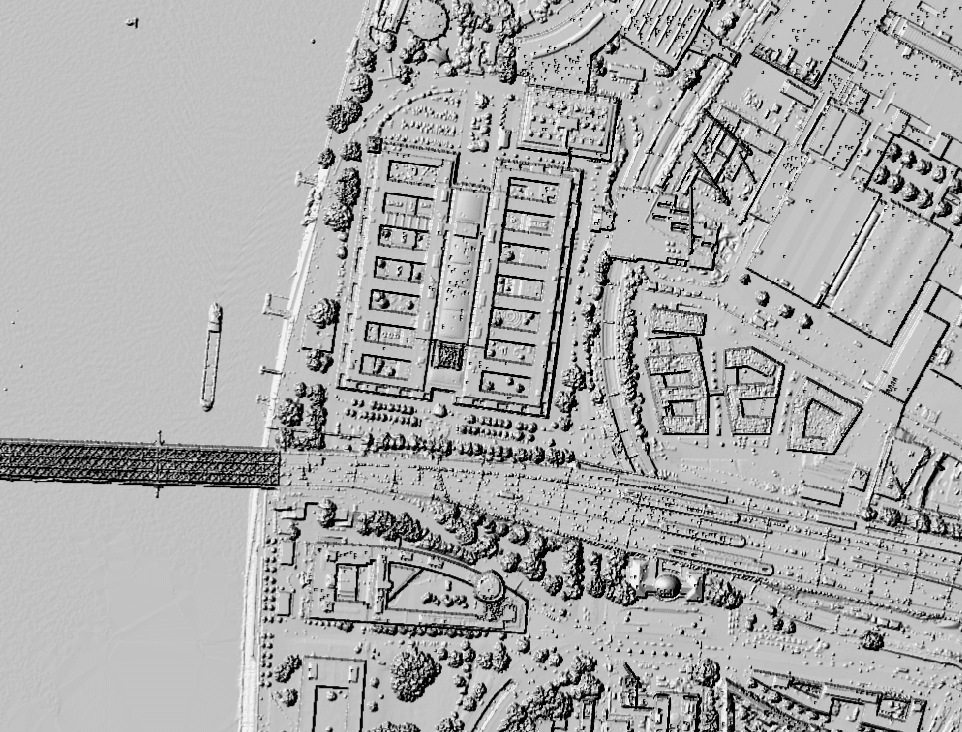
Digital surface model (DSM)
Digital surface models provide a true-to-life representation of the visible environment including buildings and vegetation. They support construction and infrastructure planning as well as visibility, solar and site analyses with precise geospatial data.
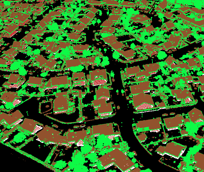
Classified point cloud
Point cloud classification assigns measured points to surface and object classes, automatically or manually. The result is structured datasets that serve as the basis for terrain models, analyses and further geospatial products in surveying and planning.
// Evaluations & specialist applications
Evaluations & specialist applications
Geospatial data offers cities and municipalities many ways to make well-founded decisions about planning, development and administration. Modern analysis and visualization methods make spatial relationships easy to grasp, reveal potential and support municipal processes efficiently.
Evaluations & specialist applications
- Solar potential
- Shading analysis
- Visibility analysis
- Road inventory
- Green space inventory
- Thermal maps
- 3D prints of city models
- Nightlight Detection Map
Visualization
- Oblique Viewer
- Mobile Mapping Viewer
// Project coordination
Project management & coordination
GSense GmbH takes on the end-to-end coordination and management of your geospatial project and accompanies you through every project phase.
- 01
Concept
Drawing up a concept based on your specific project requirements.
- 02
Technology
Selecting the appropriate sensors and carrier platform.
- 03
Planning
Detailed flight and deployment planning.
- 04
Permits
Obtaining every permit required for the survey flight.
- 05
Execution
Operational management and execution of the data capture.
- 06
Processing
Evaluation and processing of the captured data.
- 07
Quality management
Quality assurance across the entire project cycle.