// Expertise
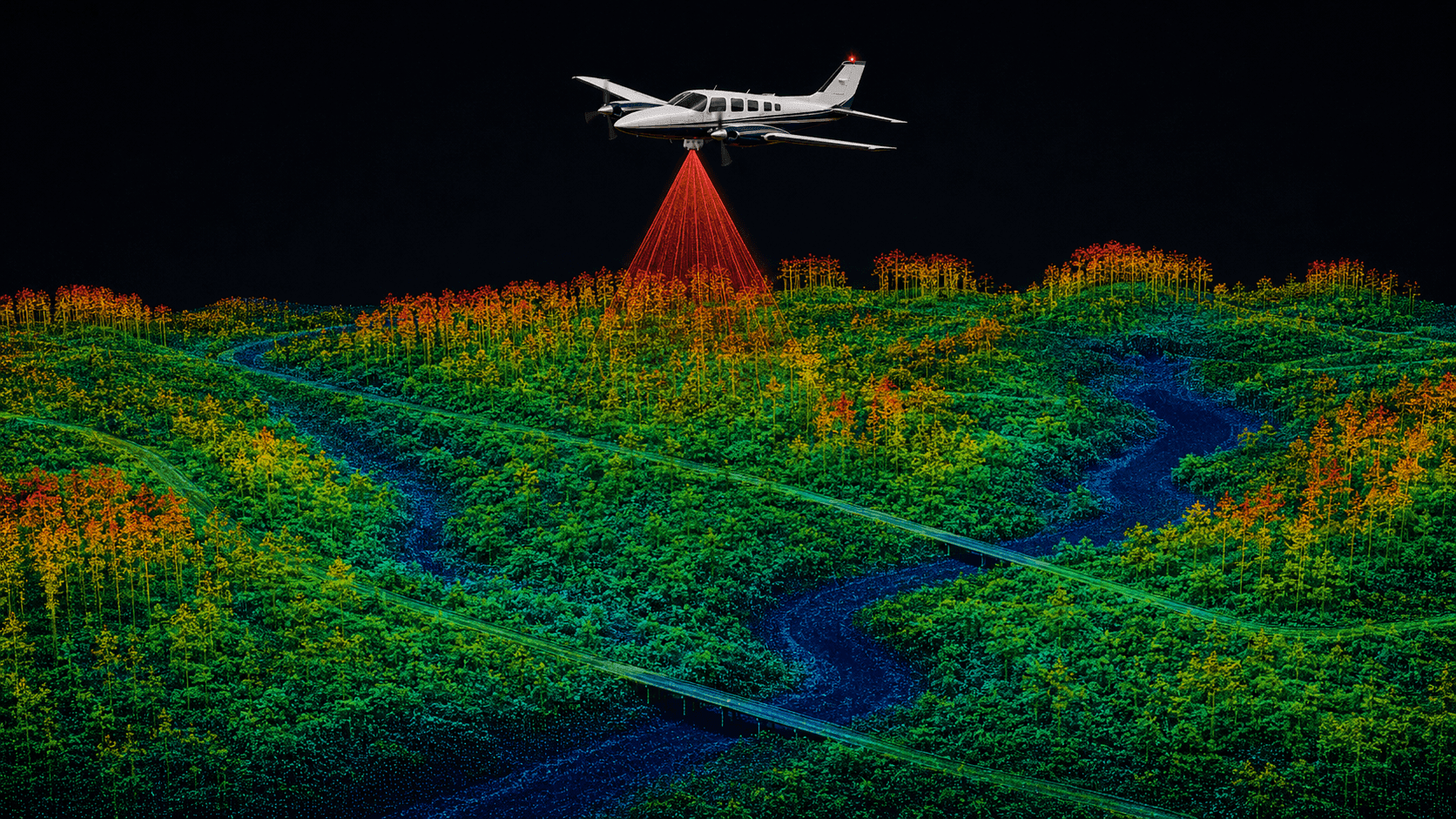
Airborne LiDAR
Aircraft-mounted laser scanning for dense, georeferenced and classified 3D point clouds.
// Overview
Airborne LiDAR
// Data products
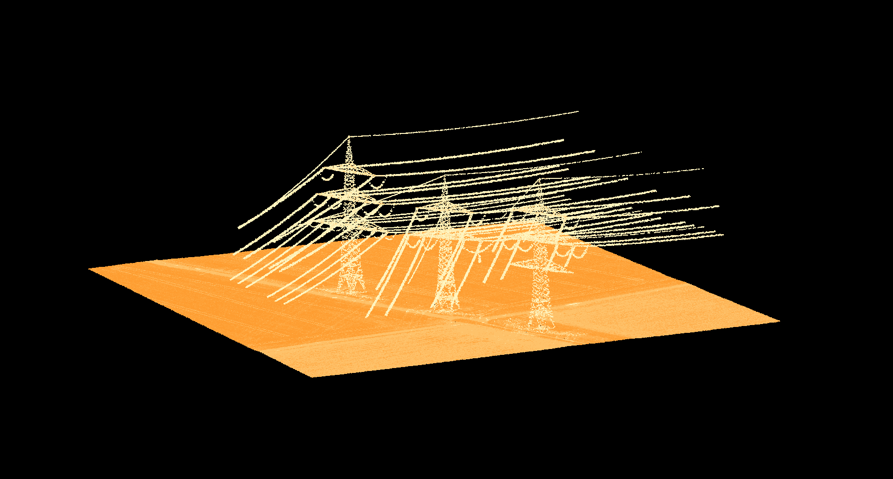
Georeferenced point cloud
A raw, accurately positioned 3D point cloud (LAS/LAZ) with intensity values – the unprocessed measurement basis for your own evaluations.
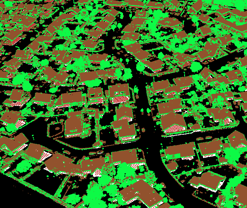
Classified point cloud
A point cloud classified into ground, vegetation, buildings and infrastructure – ready to use for DTM, DSM and derived analyses.
// Georeferenced point cloud
Georeferenced point cloud
// Classified point cloud
Classified point cloud
// Process
From the survey flight to the point cloud
- 01
Flight planning
Planning flight lines, point density and overlap to suit the area and the target accuracy.
- 02
Survey flight
Data capture with a calibrated laser scanner and GNSS/IMU trajectory under suitable conditions.
- 03
Georeferencing & strip adjustment
Trajectory computation, strip adjustment and positional control against ground control points for maximum accuracy.
- 04
Classification & delivery
Automated and manually reviewed classification, quality control and handover in your target format.
// Recommended for
All solutions