GSense

// Expertise

Viewer

Interactive delivery of geospatial data via the Oblique Viewer and Mobile Mapping Viewer in the browser.
Viewer

// Overview

Visualization

The full potential of captured geospatial data is only realized once the data is easy to access and can be integrated into existing systems. GSense delivers aerial imagery, point clouds and 3D models through interactive web viewers. The Oblique Viewer lets you measure and compare oriented oblique imagery; the MMS Viewer makes the mobile mapping run walkable.

// Oblique Viewer

Oblique Viewer

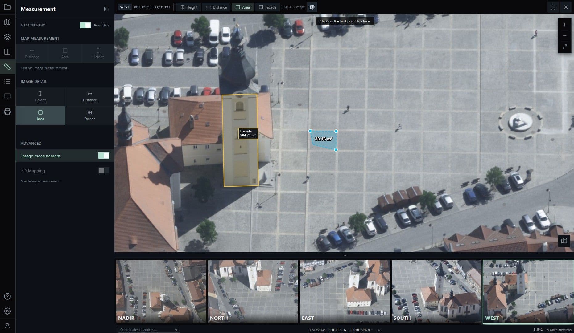
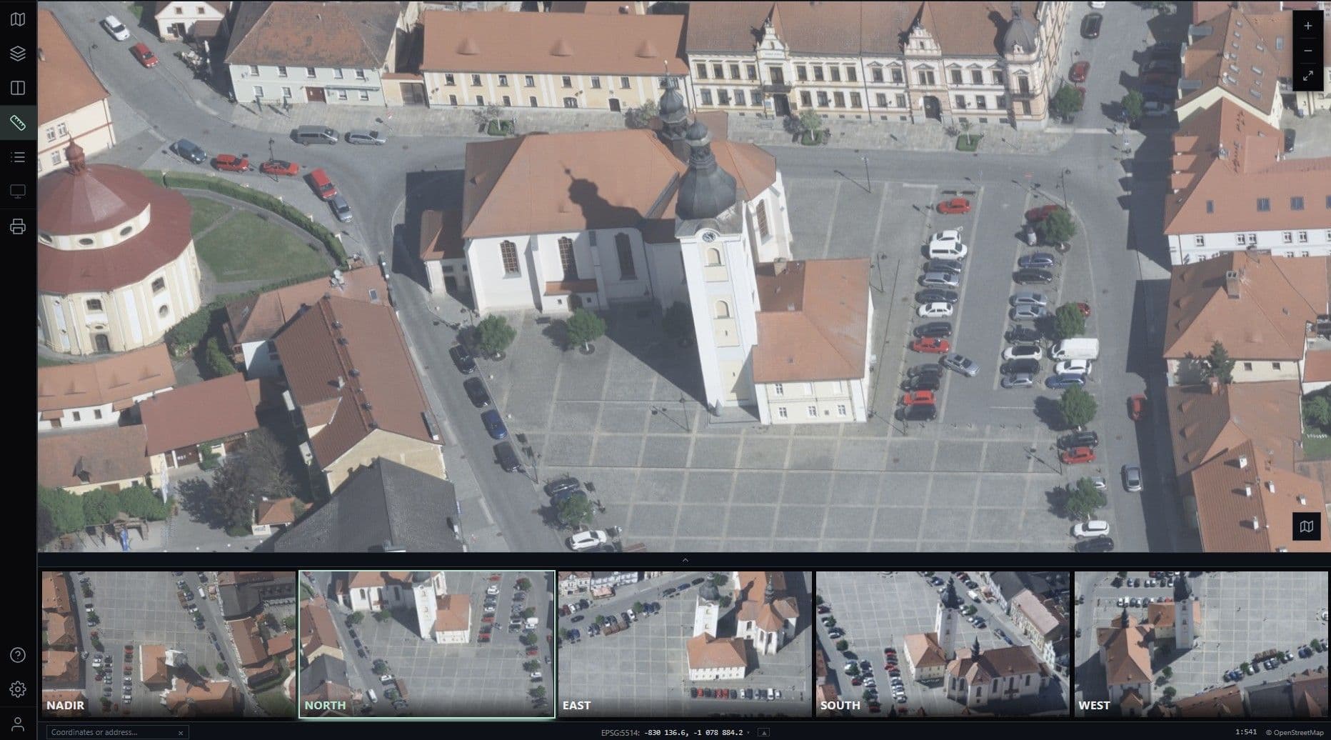
Our Oblique Viewer lets you examine aerial imagery and geospatial data conveniently, directly in the web browser. The intuitive application enables true-to-life analysis from multiple perspectives and supports precise measurement of distances, areas and objects.
Oblique Viewer

// MMS Viewer

MMS Viewer
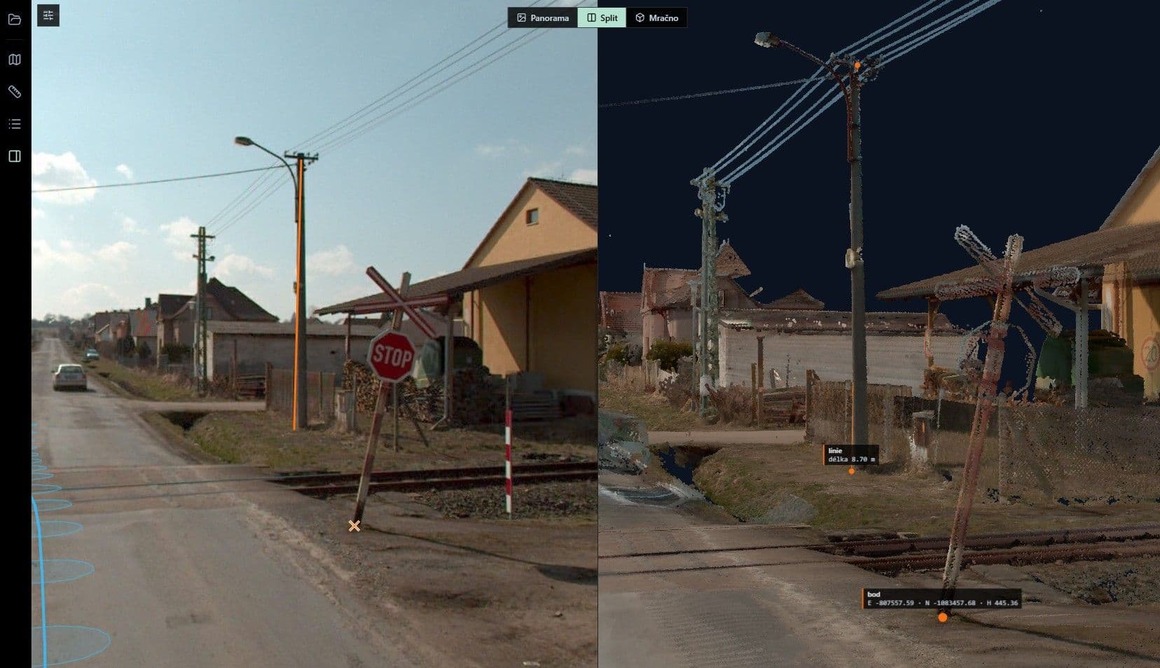
Our Mobile Mapping Viewer visualizes high-resolution 360° panoramic images and precise 3D LiDAR data directly in the browser. Virtual site visits, as-built surveys and the analysis and measurement of roads, buildings and infrastructure become simple, efficient and precise.
MMS Viewer

// Recommended for

All solutions


We are happy to advise you:

Viewer | GSense